- Usage in publication:
-
- Reelsville limestone
- Modifications:
-
- Named
- Dominant lithology:
-
- Limestone
- Oolite
- AAPG geologic province:
-
- Illinois basin
Summary:
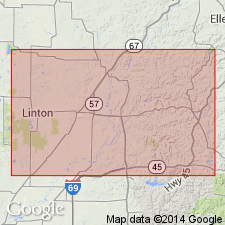
Named Reelsville limestone. "It is a compact to semi-crystalline limestone, frequently quite oolitic in texture, and almost always sub-oolitic. It contains considerable pyrite with causes it to weather to a characteristic red color." Typically 2 ft thick. Persistent over wide area. Can be traced from Indiana into northern Kentucky where it is seldom over 10 ft thick. Underlain by Brandy Run sandstone (obsolete); overlain by Elwren sandstone.
Source: GNU records (USGS DDS-6; Reston GNULEX).
- Usage in publication:
-
- Reelsville limestone
- Modifications:
-
- Areal extent
- AAPG geologic province:
-
- Illinois basin
Summary:
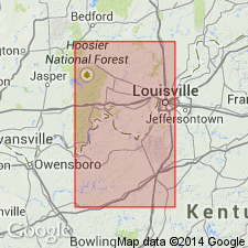
Reelsville limestone extended from southern Indiana into north-central Kentucky (Meade, Hardin, and Breckinridge Cos.). Basal unit of Paint Creek [formation?].
Source: GNU records (USGS DDS-6; Reston GNULEX).
- Usage in publication:
-
- Reelsville limestone
- Modifications:
-
- Principal reference
- AAPG geologic province:
-
- Illinois basin
Summary:
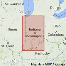
Type section for Reelsville Limestone designated as near center of sec. 21, T13N, R5W, along highway down hill, south bluff of Walnut Creek, just south of Reelsville, Putnam Co., IN.
Source: GNU records (USGS DDS-6; Reston GNULEX).
- Usage in publication:
-
- Reelsville limestone
- Modifications:
-
- Areal extent
- AAPG geologic province:
-
- Cincinnati arch
Summary:
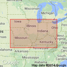
Reelsville limestone as upper part of limestone unit called Reelsville-Beech Creek extended from western Kentucky into eastern Kentucky.
Source: GNU records (USGS DDS-6; Reston GNULEX).
- Usage in publication:
-
- Reelsville limestone
- Modifications:
-
- Revised
- AAPG geologic province:
-
- Illinois basin
Summary:
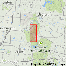
Reelsville Limestone assigned to revived West Baden Group. Reelsville is variably composed of fossiliferous oolitic limestone, cross-bedded sandy limestone, fossiliferous calcareous sandstone, cross-bedded quartzitic sandstone, or ferruginous fossiliferous siltstone. Thickness 0 to 7 ft in Huron area of south central Indiana. Missing in some places probably by non deposition. Fossils include crinoid stems, brachiopods, corals, and few bryozoans and crinoid heads. Conformably overlies Sample Sandstone; conformably underlies Elwren Formation.
Source: GNU records (USGS DDS-6; Reston GNULEX).
- Usage in publication:
-
- Reelsville Limestone*
- Modifications:
-
- Overview
- AAPG geologic province:
-
- Illinois basin
Summary:
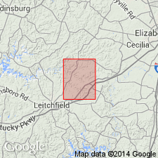
Reelsville Limestone adopted for use by U. S. Geological Survey. Is "Limestone, Thin-bedded to massive, gray or brownish-gray, oolitic to crystalline; weathers light gray; fossils rare to abundant, include Agassizocrinus sp. and Pentremites sp.; lower half is normally oolitic and commonly cross-bedded; locally contains shale or silty shale as much as 5 feet thick; lower contact gradational over short vertical interval." Overlain conformably by equivalent of Elwren Sandstone of Malott (1919). Age is Late Mississippian.
Source: GNU records (USGS DDS-6; Reston GNULEX).
- Usage in publication:
-
- Reelsville Limestone*
- Modifications:
-
- Overview
- AAPG geologic province:
-
- Illinois basin
Summary:
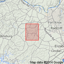
One of several geologic quadrangle maps published by U. S. Geological Survey in western Kentucky between 1962 and 1972 that contain Reelsville Limestone. "Limestone, light-olive-gray, medium-grained, clastic [bioclastic], oolitic in part; beds 6 inches to 2 feet thick; weathers to distinctive large smooth blocks; fossils locally abundant, especially crinoid stem segments; large plates Agassizocrinus sp. serve to distinguish this formation from other limestone units. At one place, 10 feet of clay shale was observed near middle of formation. Locally well exposed * * *." Gradationally underlain by Sample Sandstone; sharply and conformably overlain by Elwren Sandstone of Malott (1919).
Source: GNU records (USGS DDS-6; Reston GNULEX).

- Usage in publication:
-
- Reelsville Limestone Member
- Modifications:
-
- Overview
- AAPG geologic province:
-
- Illinois basin
Summary:
Usage of Illinois Geological Survey is Reelsville Limestone Member of Ridenhower Formation (uppermost member). Dominantly a limestone but contains beds of shale. Not differentiated at type section of Ridenhower. Has limited distribution in southeastern Illinois, mostly in subsurface.
Source: GNU records (USGS DDS-6; Reston GNULEX).
- Usage in publication:
-
- Reelsville Limestone
- Modifications:
-
- Areal extent
- AAPG geologic province:
-
- Cincinnati arch
Summary:
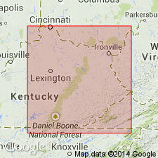
Lower part of interval of limestone called Reelsville-Beech Creek by McFarlan and Walker (1956) is named Tygarts Creek Member of Slade Formation in eastern Kentucky. Name Reelsville rejected for use in eastern Kentucky.
Source: GNU records (USGS DDS-6; Reston GNULEX).
- Usage in publication:
-
- Reelsville Limestone
- Modifications:
-
- Overview
- AAPG geologic province:
-
- Illinois basin
Summary:
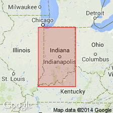
Accepted usage of Indiana Geological Survey is Reelsville Limestone of West Baden Group. Composed of gray, biomicritic, somewhat ferruginous, and locally sandy limestone. Distribution is erratic, being missing in many places. Characteristically a single bed 2 to 7 ft thick, in some small areas as much as 20 ft. Occurs in outcrop in Indiana from Putnam Co. (west-central Indiana) southward. Conformably overlies Sample Formation; conformably overlain by Elwren Formation or unconformably by Mansfield Formation (Morrowan).
Source: GNU records (USGS DDS-6; Reston GNULEX).
For more information, please contact Nancy Stamm, Geologic Names Committee Secretary.
Asterisk (*) indicates published by U.S. Geological Survey authors.
"No current usage" (†) implies that a name has been abandoned or has fallen into disuse. Former usage and, if known, replacement name given in parentheses ( ).
Slash (/) indicates name conflicts with nomenclatural guidelines (CSN, 1933; ACSN, 1961, 1970; NACSN, 1983, 2005, 2021). May be explained within brackets ([ ]).

