

- Usage in publication:
-
- Red Spring sandstone member*
- Modifications:
-
- Original reference
- Dominant lithology:
-
- Sandstone
- AAPG geologic province:
-
- Appalachian basin
Summary:
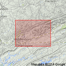
Pg. 31, 33, 43. Red Spring sandstone member of Hignite formation. Cliff-making sandstone, underlying Red Spring coal [now called Red Springs coal], topmost bed of Hignite formation. Age is Pennsylvanian.
[Named from its association with Red Spring coal in Cumberland Gap coal field, southeastern KY. Extends into northeastern TN.]
Source: US geologic names lexicon (USGS Bull. 896, p. 1788).
For more information, please contact Nancy Stamm, Geologic Names Committee Secretary.
Asterisk (*) indicates published by U.S. Geological Survey authors.
"No current usage" (†) implies that a name has been abandoned or has fallen into disuse. Former usage and, if known, replacement name given in parentheses ( ).
Slash (/) indicates name conflicts with nomenclatural guidelines (CSN, 1933; ACSN, 1961, 1970; NACSN, 1983, 2005, 2021). May be explained within brackets ([ ]).