

- Usage in publication:
-
- Red marker bed
- Modifications:
-
- Named
- Dominant lithology:
-
- Shale
- AAPG geologic province:
-
- Powder River basin
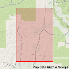
Summary:
Name applied informally to marker bed of red shale, 15 feet thick, in upper part of the Minnelusa formation in the Powder River basin. In the Dewey Dome oil field, Weston County, Wyoming, is 470 feet below top of Minnelusa; in the Mule Creek oil field, Niobrara County, Wyoming, is 465 feet below top of Minnelusa; and in the Lance Creek oil field, Niobrara County, Wyoming, 440 feet below top of Minnelusa.
Source: Modified from GNU records (USGS DDS-6; Denver GNULEX).
- Usage in publication:
-
- Red marker
- Modifications:
-
- Areal extent
- AAPG geologic province:
-
- Chadron arch
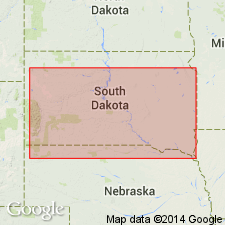
Summary:
Name extended into western South Dakota. Identified 408 feet below the top of the Minnelusa formation, at depth-interval 2,168 to 2,180 feet, in the Hollingsworth Childers No. 1 well, SE/4 NW/4 sec. 23, T. 8 S., R. 2 E., Fall River Co., SD (Chadron arch). Is a dull-purple and drab-gray, finely fissile shale, 12 feet thick. Age is Pennsylvanian.
Source: Modified from GNU records (USGS DDS-6; Denver GNULEX).
- Usage in publication:
-
- Red marker
- Modifications:
-
- Overview
- AAPG geologic province:
-
- Powder River basin
- Denver basin
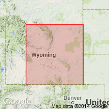
Summary:
Term used for 5 to 25 feet thick red shale bed in subsurface of Niobrara and Platte Counties, Wyoming, in Powder River and Denver basins. Base is the base of the Broom Creek and Cassa groups (Division I) of the Hartville formation. Approximately the base of the Permian.
Source: GNU records (USGS DDS-6; Denver GNULEX).
- Usage in publication:
-
- Red shale marker
- Modifications:
-
- Overview
- AAPG geologic province:
-
- Powder River basin
Summary:
Term used for bed at the base of the upper [part of the] Minnelusa formation. Appears to be a buried soil; marks an unconformity between the upper and middle parts of the Minnelusa [in the Powder River basin, WY]. Age is Permian.
Source: GNU records (USGS DDS-6; Denver GNULEX).
- Usage in publication:
-
- Red marker*
- Modifications:
-
- Overview
- AAPG geologic province:
-
- Powder River basin
- Williston basin
- Chadron arch
- Denver basin
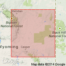
Summary:
The base of the Permian System in Wyoming is placed at the lower contact of a mudstone known as the red marker, originally recognized in the subsurface of the Lance Creek field in central eastern Wyoming, but now known in most of southeastern Wyoming and southwestern South Dakota (in the Powder River, Williston, and Denver basins, and on the Chadron arch). This very distinctive unit, composed of red mudstone with minor dolomite and sulfates, is recognized in the subsurface over a very large area. Is also recognizable in the Hartville Formation of the Hartville uplift, the Minnelusa Formation of the southern Black Hills, and with somewhat less certainty, in the Casper Formation of the Laramie Range. Does not extend westward into central Wyoming beyond Casper nor northward into northeastern Wyoming, northwestern South Dakota, or beyond. Is useful as a systemic boundary because (1) it is readily recognized in both surface and subsurface; (2) it overlies an unconformity (citing Foster, 1958, p. 39); (3) it separates rocks which, though generally included within a single formation, are nevertheless of distinctly different composition; and (4) fusulinids from below the red marker are Virgil or older age (citing Agatston, 1954; Love and others, 1953; Thomas, H.D., and others, 1953), whereas fusulinids from above the red marker or from its equivalent are only Early Permian age (citing Agatston, 1954; Maughan and Wilson, 1960; McCauley, 1956; Thomas, H.D., and others, 1953).
Source: Modified from GNU records (USGS DDS-6; Denver GNULEX).
For more information, please contact Nancy Stamm, Geologic Names Committee Secretary.
Asterisk (*) indicates published by U.S. Geological Survey authors.
"No current usage" (†) implies that a name has been abandoned or has fallen into disuse. Former usage and, if known, replacement name given in parentheses ( ).
Slash (/) indicates name conflicts with nomenclatural guidelines (CSN, 1933; ACSN, 1961, 1970; NACSN, 1983, 2005, 2021). May be explained within brackets ([ ]).