

- Usage in publication:
-
- Redcliff member
- Modifications:
-
- Original reference
- Dominant lithology:
-
- Dolomite
- Breccia
- AAPG geologic province:
-
- Eagle basin
Summary:
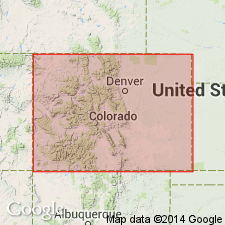
Pg. 80, 90-94. Redcliff member (informal) of Leadville Limestone. Massive micrite and dolomicrite; includes a persistent, 2 to 8 feet thick, very fine grained, tan to gray, dense dolomite at base. Thickness 41 to 84 feet. Unconformably overlies Gilman Member and unconformably underlies Castle Butte member (informal); both of Leadville. Fossiliferous; stromatolites occur 10 to 30 feet above base. Age is considered Early Mississippian (Kinderhookian).
Named from exposures near Redcliff, CO. Recognized in Eagle, Lake, and Pitkin Cos., CO.
[GNC remark (ca. 1990, GNC index card files, USGS-Menlo Park, CA): Author states this is an informal name.]
Source: Modified from GNU records (USGS DDS-6; Denver GNULEX); GNC index card files (Menlo).
- Usage in publication:
-
- Red Cliff Member
- Modifications:
-
- Principal reference
- Revised
- AAPG geologic province:
-
- Eagle basin
Summary:
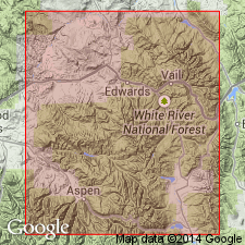
Red Cliff Member of Leadville Dolomite. Revised to include top 15+ feet of dolomite previously assigned to the underlying Gilman Sandstone of Chaffee Group by Tweto and Lovering (1977, = their beds 6, 7, and 8). Consists of dolomite and chert. Thickness 95.8 feet. Separated from Gilman (restricted) by M-1 unconformity and from overlying Castle Butte Member of Leadville by M-2 unconformity. Top of Red Cliff marked by 2-foot-thick "Pink Breccia." Age is Mississippian.
Principal reference section (measured by Tweto and Lovering, 1977, USGS Prof. Paper 956, p. 23-32): at Rock Creek, 0.4 mi northwest of Gilman, in SW/4 sec. 12, T. 6 S., R. 81 W., Leadville mining district, Lake Co., west-central CO.
[GNU remark (ca. 1996, USGS DDS-6; Denver GNULEX): Considered a formal name.]
Source: Modified from GNU records (USGS DDS-6; Denver GNULEX).
For more information, please contact Nancy Stamm, Geologic Names Committee Secretary.
Asterisk (*) indicates published by U.S. Geological Survey authors.
"No current usage" (†) implies that a name has been abandoned or has fallen into disuse. Former usage and, if known, replacement name given in parentheses ( ).
Slash (/) indicates name conflicts with nomenclatural guidelines (CSN, 1933; ACSN, 1961, 1970; NACSN, 1983, 2005, 2021). May be explained within brackets ([ ]).