- Usage in publication:
-
- Red Boy Rhyolite*
- Modifications:
-
- Overview
- AAPG geologic province:
-
- Basin-and-Range province
Summary:
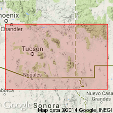
Is youngest Cretaceous formation in Sierrita Mountains (Pima Co, AZ) in Basin-and-Range province. Overlies Demetrie Formation (Campanian) of Thoms (1967) with apparent angular unconformity. Is overlain with angular unconformity by gravel and basaltic andesite lava of middle or late Tertiary age, and is intruded by andesite dikes and plugs of probable early Tertiary age. Is considered correlative with Cat Mountain Rhyolite of Brown (1939) in Tucson Mountains and, thus, with upper part of Salero Formation in Santa Rita Mountains. Age is shown to be Campanian and Maestrichtian (Late Cretaceous) on correlation chart (fig. 5).
Source: GNU records (USGS DDS-6; Denver GNULEX).

- Usage in publication:
-
- Red Boy Rhyolite*
- Modifications:
-
- Named
- Dominant lithology:
-
- Tuff
- Breccia
- AAPG geologic province:
-
- Basin-and-Range province
Summary:
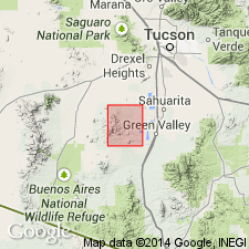
Named [first in Ph.D. thesis of J. A. Thoms]. Type locality is on south slope of Red Boy Peak in sec 15, T18S, R11E, Pima Co, AZ, Basin-and-Range province. Crops out in a belt more than 9 mi long and as much as 2.5 mi wide. Has a total outcrop area of 10 sq mi. Forms conspicuous foothills. Consists of gray to red rhyolitic flows and pyroclastic rocks 700 to perhaps 1,000 ft thick. Characterized by massive well-indurated rhyolitic tuff and tuff-breccia, intercalated rhyolitic flows, and locally a basal conglomerate. Includes fine-grained andesite that forms a volcanic neck and associated small irregular intrusions. Rhyolitic rocks grade from an argillized to metamorphosed facies in Sierrita Mountains. Rhyolite has phenocrysts of quartz and feldspar in an aphanitic matrix which is hard in gray facies, but soft in argillized facies. Fine-grained dark andesite occurs as small dikes, plugs, and other extrusive bodies. Petrographic descriptions. Unconformably overlies Demetrie Volcanics (new), Ox Frame Volcanics (new), or Mesozoic intrusive rocks, and unconformably overlain by Holocene alluvium or by gravel and andesite of middle Tertiary age. Correlated with nearby rhyolites that have been radiometrically dated as Late Cretaceous, ranging from 74 to 60 m.y. Several faults and shear zones that cut Red Boy are intruded by a 60 m.y. granodiorite. Geologic map.
Source: GNU records (USGS DDS-6; Denver GNULEX).
For more information, please contact Nancy Stamm, Geologic Names Committee Secretary.
Asterisk (*) indicates published by U.S. Geological Survey authors.
"No current usage" (†) implies that a name has been abandoned or has fallen into disuse. Former usage and, if known, replacement name given in parentheses ( ).
Slash (/) indicates name conflicts with nomenclatural guidelines (CSN, 1933; ACSN, 1961, 1970; NACSN, 1983, 2005, 2021). May be explained within brackets ([ ]).

