

- Usage in publication:
-
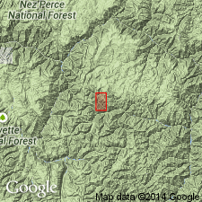
- Ramey Ridge Complex*
- Modifications:
-
- Named
- Dominant lithology:
-
- Syenite
- AAPG geologic province:
-
- Northern Rocky Mountain region
Summary:
Named as Paleozoic? unit in Idaho and Valley Cos, ID in Northern Rocky Mountain region. Type area is on Ramey Ridge in northeast corner of Big Creek quad. Is an arcuate complex of syenite and quartz syenite involved with amphibolite, slightly to highly contaminated magmatic rocks that are divisible into a highly contaminated outer part and less contaminated inner part that was emplaced within old metavolcanic rocks. Is pre-Casto (Permian) and post-White quartzite (late Precambrian, Cambrian or Ordovician in age). May be younger or older than Paleozoic.
Source: GNU records (USGS DDS-6; Denver GNULEX).
- Usage in publication:
-
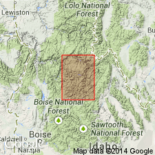
- Ramey Ridge Complex*
- Modifications:
-
- Age modified
- AAPG geologic province:
-
- Northern Rocky Mountain region
Summary:
Minimum age of 680 m.y. placed on Ramey Ridge Complex thereby changing age from Paleozoic? to Precambrian. Complex mapped with other Precambrian intrusive complexes as one map unit in report area which lies in Northern Rocky Mountain region.
Source: GNU records (USGS DDS-6; Denver GNULEX).
For more information, please contact Nancy Stamm, Geologic Names Committee Secretary.
Asterisk (*) indicates published by U.S. Geological Survey authors.
"No current usage" (†) implies that a name has been abandoned or has fallen into disuse. Former usage and, if known, replacement name given in parentheses ( ).
Slash (/) indicates name conflicts with nomenclatural guidelines (CSN, 1933; ACSN, 1961, 1970; NACSN, 1983, 2005, 2021). May be explained within brackets ([ ]).