- Usage in publication:
-
- Purcell Limestone Member
- Modifications:
-
- Named
- Dominant lithology:
-
- Limestone
- AAPG geologic province:
-
- Appalachian basin
Summary:
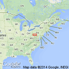
Named the Purcell Limestone Member of the Marcellus Formation in PA, MD, VA, and WV for the Purcell gas field, Bedford Co., PA. Consists of 30 meters of limestone that "contains nodules resembling golf balls." The Purcell is of Middle Devonian age.
Source: GNU records (USGS DDS-6; Reston GNULEX).

- Usage in publication:
-
- Purcell Limestone Member*
- Modifications:
-
- Areal extent
- AAPG geologic province:
-
- Appalachian basin
Summary:
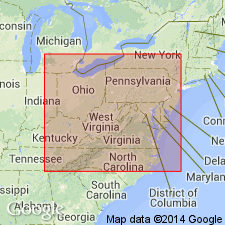
Purcell Limestone Member of the Marcellus Shale in central PA is composed of a gray silty shale and mudrock, as well as some beds of siltstone, many limestone nodules, and a few barite nodules approximately 1 to 2 in. in diameter. Author states that unit extends into the subsurface of PA, MD, and WV. In addition, Fig. 8 shows the Purcell extending northward into south-central NY. Eastern limit of the unit is not mapped.
Source: GNU records (USGS DDS-6; Reston GNULEX).

- Usage in publication:
-
- Purcell Member*
- Modifications:
-
- Biostratigraphic dating
- AAPG geologic province:
-
- Appalachian basin
Summary:
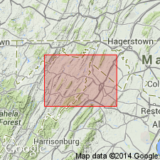
Conodont biostratigraphy indicates that the Purcell Member of the Marcellus Shale in the Winchester 30 X 60 minute quadrangle is of Middle Devonian (Eifelian) age. Conodonts indicative of the PO. C. COSTATUS Zone were recovered from this unit.
Source: GNU records (USGS DDS-6; Reston GNULEX).

- Usage in publication:
-
- Purcell Member
- Modifications:
-
- Areal extent
- Overview
- AAPG geologic province:
-
- Appalachian basin
Summary:
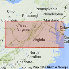
Within the Millboro Shale in the study area are 64 ft of limestones and calcitic shales that compose the Purcell Member. Though previously described in this area, the strata until now have not been given a name. The Purcell here also contains barite nodules. The shale and limestone can be traced from near Salem northward into central PA and from there, in the subsurface, to the type Cherry Valley Limestone outcrop within the Marcellus Shale of NY.
Source: GNU records (USGS DDS-6; Reston GNULEX).
For more information, please contact Nancy Stamm, Geologic Names Committee Secretary.
Asterisk (*) indicates published by U.S. Geological Survey authors.
"No current usage" (†) implies that a name has been abandoned or has fallen into disuse. Former usage and, if known, replacement name given in parentheses ( ).
Slash (/) indicates name conflicts with nomenclatural guidelines (CSN, 1933; ACSN, 1961, 1970; NACSN, 1983, 2005, 2021). May be explained within brackets ([ ]).

