The National Geologic Map Database is migrating to a new infrastructure. We apologize for any service disruptions during this process.
|
|---|


- Usage in publication:
-
- Pumpkin Valley shale*
- Modifications:
-
- First used
- AAPG geologic province:
-
- Appalachian basin
Summary:
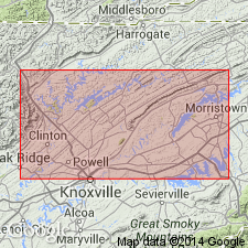
The name Pumpkin Valley shale occurs on the map legend and is mapped with the Rome formation in eastern TN.
Source: GNU records (USGS DDS-6; Reston GNULEX).
- Usage in publication:
-
- Pumpkin Valley shale
- Modifications:
-
- Named
- Dominant lithology:
-
- Shale
- AAPG geologic province:
-
- Appalachian basin
Summary:
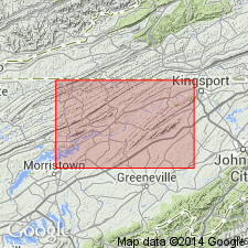
Named the Pumpkin Valley shale for Pumpkin Valley, Hawkins Co., TN. Name is proposed for 360 feet of shale which overlies the Rome formation and underlies the Rutledge shale. Unit has commonly been included in the Rome. Report includes a stratigraphic column from Lee Valley, Hawkins Co., TN. The Pumpkin Valley is of Middle Cambrian age.
Source: GNU records (USGS DDS-6; Reston GNULEX).
- Usage in publication:
-
- Pumpkin Valley Shale*
- Modifications:
-
- Revised
- Areal extent
- AAPG geologic province:
-
- Appalachian basin
Summary:
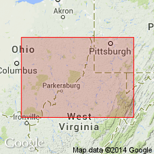
In cross section E-E', Pumpkin Valley Shale is used for gray shale and siltstone in the Rome trough and is extended into the subsurface of West Virginia. Correlates with shale previously assigned to the Rogersville Shale by Webb (1980) and Donaldson and others (1988), and to the Signal shale of the Rome Formation by Sutton (1981). Intertongues westward with sandstone of the Rome Formation; grades eastward into the Elbrook Dolomite. Shown as part of the Conasauga Group. Age is Middle Cambrian.
Source: GNU records (USGS DDS-6; Reston GNULEX).
For more information, please contact Nancy Stamm, Geologic Names Committee Secretary.
Asterisk (*) indicates published by U.S. Geological Survey authors.
"No current usage" (†) implies that a name has been abandoned or has fallen into disuse. Former usage and, if known, replacement name given in parentheses ( ).
Slash (/) indicates name conflicts with nomenclatural guidelines (CSN, 1933; ACSN, 1961, 1970; NACSN, 1983, 2005, 2021). May be explained within brackets ([ ]).