The National Geologic Map Database is migrating to a new infrastructure. We apologize for any service disruptions during this process.
|
|---|


- Usage in publication:
-
- Poway conglomerate*
- Modifications:
-
- Named
- Dominant lithology:
-
- Conglomerate
- AAPG geologic province:
-
- Peninsular Ranges province
Summary:
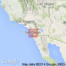
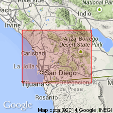
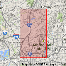
Well exposed near town of Poway and forms south wall of Poway Valley. Also occurs in narrow belt that extends from Poway Mesa eastward to Witch Creek, San Diego Co, CA. Consists chiefly of conglomerates but includes lenses of cross-bedded sand and thin layers of marly clay. Maximum thickness west of Foster is about 1000 ft. Relations to marine San Diego formation not determined but probably is somewhat older than upper part. Overlies pre-Tertiary crystalline rocks. Stratigraphic chart shows unit is Tertiary age.
Source: GNU records (USGS DDS-6; Menlo GNULEX).
- Usage in publication:
-
- Poway Group*
- Modifications:
-
- Revised
- Age modified
- AAPG geologic province:
-
- Peninsular Ranges province
Summary:
Poway Conglomerate of Ellis (1919) and as redefined by Hanna (1926) raised to Poway Group which includes (ascending): Stadium Conglomerate (new), Mission Valley Formation (new), and unnamed unit. Type locality designated as along south wall of Poway Valley near Poway, San Diego Co, CA. Conformably overlies La Jolla Group; [unconformably] underlies San Diego Formation. Age of basal part is middle(?) and late Eocene age; upper part is late Eocene age based on paleontological evidence.
Source: GNU records (USGS DDS-6; Menlo GNULEX).
- Usage in publication:
-
- Poway Group
- Modifications:
-
- Revised
- AAPG geologic province:
-
- Peninsular Ranges province
Summary:
Upper unnamed conglomerate of Poway Group of Kennedy and Moore (1971) herein named Pomerado Conglomerate which includes Miramar Sandstone Member (new). Age of Pomerado Conglomerate is late Eocene based on stratigraphic relations.
Source: GNU records (USGS DDS-6; Menlo GNULEX).
- Usage in publication:
-
- Poway Group*
- Modifications:
-
- Age modified
- AAPG geologic province:
-
- Peninsular Ranges province
Summary:
Age is middle and late Eocene based on age modification of Mission Valley Formation (upper formation in Poway Group).
Source: GNU records (USGS DDS-6; Menlo GNULEX).
For more information, please contact Nancy Stamm, Geologic Names Committee Secretary.
Asterisk (*) indicates published by U.S. Geological Survey authors.
"No current usage" (†) implies that a name has been abandoned or has fallen into disuse. Former usage and, if known, replacement name given in parentheses ( ).
Slash (/) indicates name conflicts with nomenclatural guidelines (CSN, 1933; ACSN, 1961, 1970; NACSN, 1983, 2005, 2021). May be explained within brackets ([ ]).