- Usage in publication:
-
- Pounds formation
- Modifications:
-
- Named
- Dominant lithology:
-
- Sandstone
- Shale
- AAPG geologic province:
-
- Illinois basin
Summary:
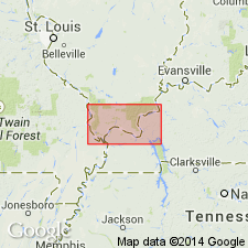
Pounds formation named as uppermost unit of Caseyville group. Consists of a prominent sandstone below and a series of shaly beds above. Sandstone has maximum thickness of more than 100 ft. Shaly strata are poorly exposed and determination of their thickness depends upon recognition of overlying Grindstaff sandstone. The Grindstaff appears to lie from 40 to 60 ft above top of Pounds sandstone at most places, but locally the shaly beds have probably been cut out completely so that the Grindstaff or some younger sandstone is in direct contact with Pounds sandstone. Maximum thickness of formation 150 ft or more in eastern part of area. Thins irregularly to west, and in places is not more than 50 ft thick. Probably unconformably overlies Battery Rock formation. Age is Early Pennsylvanian.
Source: GNU records (USGS DDS-6; Reston GNULEX).

- Usage in publication:
-
- Pounds sandstone member
- Modifications:
-
- Revised
- AAPG geologic province:
-
- Illinois basin
Summary:
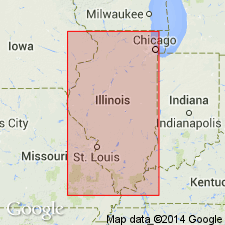
Unit reduced in rank to Pounds sandstone member of Caseyville formation. Uppermost member of formation. In southeastern area, occurs above Gentry coal member (new); in southwestern area, occurs above Drury shale member. Thickness 80 ft at type section of Caseyville and about 100 ft at reference section of formation. In southwestern area, includes strata formerly considered to be lower part of Makando sandstone, which is herein abandoned.
Source: GNU records (USGS DDS-6; Reston GNULEX).

- Usage in publication:
-
- Pounds Sandstone Member
- Modifications:
-
- Overview
- AAPG geologic province:
-
- Illinois basin
Summary:
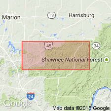
Following the definition of Kosanke and others (1960), top of Pounds Sandstone Member considered to be the top of the Caseyville Formation. Cliffs of this sandstone are relatively continuous from the Ohio River to the Mississippi. The Pounds is thin to absent in some places and more than 120 ft thick in others. The Caseyville Formation crops out extensively in the southern parts of all three quads included in this study. Three other previously named members are recognized in the area: (ascending) Wayside, Battery Rock Sandstone, and Drury. The Drury is here changed from Drury Shale Member to Drury Member and revised to include the Gentry Coal Bed (rank reduced). The Wayside is here revised from Wayside Sandstone Member to Wayside Member because it contains large proportions of shale and siltstone. The Caseyville is assigned a Morrowan age based on palynological data.
Source: GNU records (USGS DDS-6; Reston GNULEX).
For more information, please contact Nancy Stamm, Geologic Names Committee Secretary.
Asterisk (*) indicates published by U.S. Geological Survey authors.
"No current usage" (†) implies that a name has been abandoned or has fallen into disuse. Former usage and, if known, replacement name given in parentheses ( ).
Slash (/) indicates name conflicts with nomenclatural guidelines (CSN, 1933; ACSN, 1961, 1970; NACSN, 1983, 2005, 2021). May be explained within brackets ([ ]).

