- Usage in publication:
-
- Potomac formation
- Modifications:
-
- Named
- Dominant lithology:
-
- Clay
- Sand
- Gravel
- AAPG geologic province:
-
- Atlantic Coast basin
Summary:
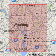
The Potomac formation consists of fine homogeneous plastic clay, sand, coarse and fine gravel, with occasional boulder beds. Forms surface east of a line crossing Potomac River near Chain Bridge and passing a little east of Brightwood, except where cut through by gneiss. Unit is known to extend from Baltimore to Washington, thence southward through Fredericksburg and Richmond to Petersburg, VA. It underlies Columbia formation and unconformably overlies the gneiss.
Source: GNU records (USGS DDS-6; Reston GNULEX).
- Usage in publication:
-
- Potomac Formation
- Modifications:
-
- Revised
- AAPG geologic province:
-
- Atlantic Coast basin
Summary:
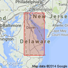
Reduced the rank of the Potomac to the Potomac Formation. Author believes the use of formation is preferable to group. Consists of white, gray, and rust-brown quartz sand with some gravel; variegated white, yellow, and red silts and clays, and some beds of gray clay. Unit underlies the Magothy Formation and is of Cretaceous age.
Source: GNU records (USGS DDS-6; Reston GNULEX).
- Usage in publication:
-
- Potomac group
- Modifications:
-
- Areal extent
- AAPG geologic province:
-
- Atlantic Coast basin
Summary:
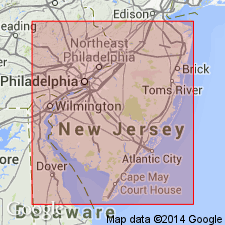
Geographically extended the Potomac group to the subsurface of NJ. Unit is undivided in NJ but can be divided into the Patapsco and Patuxent formations in DE. Unit underlies the Raritan formation and is of Early Cretaceous age.
Source: GNU records (USGS DDS-6; Reston GNULEX).
- Usage in publication:
-
- Potomac Group
- Modifications:
-
- Age modified
- Biostratigraphic dating
- AAPG geologic province:
-
- Atlantic Coast basin
Summary:
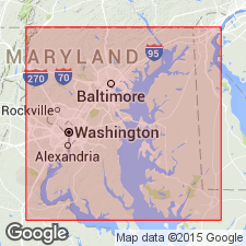
The Potomac Group, the basal unit of the Coastal Plain, consists of approximately 600 feet of continental sediment that can be divided between Baltimore, MD, and Washington, DC, into the Patuxent, Arundel, and Patapsco Formations. The Arundel Formation is of late Barremian to Aptian age and the Patapsco Formation is of Albian age based on spores and pollen. Therefore, the Potomac Group is of Early and Late Cretaceous age.
Source: GNU records (USGS DDS-6; Reston GNULEX).
- Usage in publication:
-
- Potomac Group
- Modifications:
-
- Revised
- AAPG geologic province:
-
- Atlantic Coast basin
Summary:
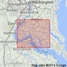
Revised the Potomac Group in MD and DE to include the Raritan Formation at the top based on the similarity of lithology to the other formations in the group. The Potomac is the basal unit of the Coastal Plain in VA, MD, DE, and NJ and consists of large and abrupt variations in lithology including gravel (11%), sand (60%), silt, and clay. The Potomac Group includes (ascending) the Patuxent, Arundel, Patapsco, and Raritan Formations in MD and DE. By adding the Raritan Formation, the Potomac is of Early and Late Cretaceous age.
Source: GNU records (USGS DDS-6; Reston GNULEX).
- Usage in publication:
-
- Potomac Group
- Modifications:
-
- Overview
- AAPG geologic province:
-
- Atlantic Coast basin
Summary:
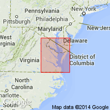
Potomac used as Group in map area. Outcrops are found sporadically in cliffs along the east bank of the Potomac between the Prince Georges Co. line and Liverpool Point. Clay is distinguished by cross fractures that give it a blocky structure. Only upper contact and less than 50 ft of Patapsco Formation are exposed in Charles Co. Group is about 1350 ft thick in the southeastern corner of the county and overlies crystalline rocks 700 ft below the Potomac River. Unconformably underlies units ranging in age from the Late Cretaceous Severn Formation to Holocene. Age based on pollen is Early Cretaceous to earliest Late Cretaceous. [Nomenclature used in this report is that of the Maryland Geological Survey.]
Source: GNU records (USGS DDS-6; Reston GNULEX).
- Usage in publication:
-
- Potomac Formation*
- Modifications:
-
- Overview
- AAPG geologic province:
-
- Atlantic Coast basin
Summary:
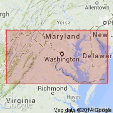
The Potomac Formation in VA consists of light-gray to pinkish and greenish-gray quartzo-feldspathic sand, fine- to coarse-grained, pebbly, poorly sorted, thick and cross-bedded. Sand is interbedded with sandy clay and silt that is commonly mottled red or reddish-brown. In the inner Coastal Plain, unit was deposited mainly in fluvial-deltaic environment and intertongues eastward with thin glauconitic sands of shallow shelf origin. Spore and pollen assemblages and leaf impressions of ferns and cycad indicate that the Potomac Formation is of Early Cretaceous age; however, in down-dip areas, the unit may be of earliest Late Cretaceous age. Thickness ranges from a featheredge at western limit to more than 3500 feet in subsurface of outer Coastal Plain.
Source: GNU records (USGS DDS-6; Reston GNULEX).
- Usage in publication:
-
- Potomac Formation*
- Modifications:
-
- Overview
- AAPG geologic province:
-
- Atlantic Coast basin
Summary:
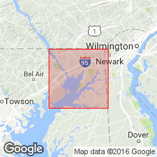
Potomac Formation used in the Elk Neck area, Salisbury Embayment, northeastern MD, following the usage of R.R. Jordan, (1983, Stratigraphic nomenclature of nonmarine Cretaceous rocks of inner margin of coastal plain in Delaware and adjacent states: Delaware Geol. Survey, Rept. of Investigations no. 37, p. 1-43.) Jordan stated that even though locally a tripartite subdivision of the Potomac is possible, in a regional sense the subdivision is not possible. He does not recognize the Patuxent, Arundel, and Patapsco Formations in DE.
Source: GNU records (USGS DDS-6; Reston GNULEX).
- Usage in publication:
-
- Potomac Group*
- Modifications:
-
- Overview
- AAPG geologic province:
-
- Atlantic Coast basin
Summary:
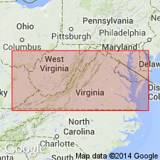
Sequence in this report is treated as Potomac Group undifferentiated as there is not adequate basis in most areas for distinguishing among the Patuxent, Patapsco, and Raritan Formations. The uppermost beds, which contain plant fossils of Late Cretaceous age, are referred to informally as the "Raritan" of MD. In report area, the Potomac is made up of an irregular succession of lenses and layers of gravelly sand, sand, silt, and clay, as well as various intermediate mixtures of these that accumulated in a fluvial environment. Underlies Pensauken Formation. [This manuscript was reviewed by the GNU in 1973, but was not published until 1990. Field work for this study was done in the late 1960's. The nomenclature in this report may not reflect current USGS usage.]
Source: GNU records (USGS DDS-6; Reston GNULEX).

- Usage in publication:
-
- Potomac Formation
- Modifications:
-
- Overview
- AAPG geologic province:
-
- Atlantic Coast basin
Summary:
Potomac Formation used on State map. Description of unit from Mixon (1985). Age given as Early and Late(?) Cretaceous.
Source: GNU records (USGS DDS-6; Reston GNULEX).
- Usage in publication:
-
- Potomac Group
- Modifications:
-
- Biostratigraphic dating
- Overview
- AAPG geologic province:
-
- Atlantic Coast basin
Summary:
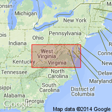
Megaflora from the Potomac Group described in this report is of middle to early late Albian age and consists of 22 species, including 1 species of horsetail, 1 species of cycadophite, 8 species of conifers and 12 species of angiosperms. Three palynological zones are currently recognized in the Potomac: I) early and middle Aptian, II) late Aptian to late Albian, and III) early to middle Cenomanian. Outcropping sediments have a maximum thickness of 230 m and represent a time period of approximately 22 m.y. At Quantico, exposures are characterized by cross-bedded sands that show the fining-upward sequences typical of fluvial channels.
Source: GNU records (USGS DDS-6; Reston GNULEX).
- Usage in publication:
-
- Potomac Formation*, Group*
- Modifications:
-
- Overview
- AAPG geologic province:
-
- Atlantic Coast basin
Summary:
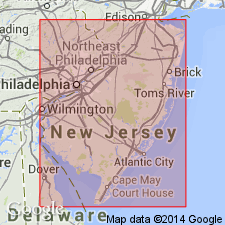
Early to Late Cretaceous Potomac Formation used in northeastern VA and Potomac Group (including undivided Patapsco, Arundel, and Patuxent Formations) used in MD.
Source: GNU records (USGS DDS-6; Reston GNULEX).
- Usage in publication:
-
- Potomac Formation*
- Modifications:
-
- Overview
- AAPG geologic province:
-
- Atlantic Coast basin
Summary:
The Potomac Formation is divided into three units based on pollen zones of Doyle (1969; Arnold Arboretum Journal, v. 50). Units I and II are only found in the subsurface and unit III occurs in surface outcrops as well as in the subsurface. Unit I consists of 90 meters of interbedded clay, sand, and gravel with sand being the most abundant lithology. Unit I is of Early Cretaceous (Barremian to Albian) age. Unit II consists of 133 to 233 meters of interbedded sand and clay-silt and is of Early Cretaceous (Albian) age. Unit III consists of interbedded clay, gravel, and sand and ranges from 70 to 133 meters thick. Unit III is of Late Cretaceous (early Cenomanian) age. The Potomac is the oldest Coastal Plain unit and is overlain by the Raritan Formation.
Source: GNU records (USGS DDS-6; Reston GNULEX).
For more information, please contact Nancy Stamm, Geologic Names Committee Secretary.
Asterisk (*) indicates published by U.S. Geological Survey authors.
"No current usage" (†) implies that a name has been abandoned or has fallen into disuse. Former usage and, if known, replacement name given in parentheses ( ).
Slash (/) indicates name conflicts with nomenclatural guidelines (CSN, 1933; ACSN, 1961, 1970; NACSN, 1983, 2005, 2021). May be explained within brackets ([ ]).

