

- Usage in publication:
-
- Poleo sandstone lentil*
- Modifications:
-
- Revised
- Dominant lithology:
-
- Sandstone
- AAPG geologic province:
-
- San Juan basin
Summary:
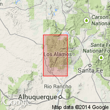
Revised from "Poleo top sandstone" to a lentil in the Chinle formation. Is similar in lithology, [i.e. sandstone], to Agua Zarca sandstone, basal member of Chinle. No other specific lithologic description of Poleo given. Overlies Salitral shale tongue (new) of Chinle. Underlies upper unnamed part of Chinle. Thickness about 50 to 100 ft. Mapped in southern part of report area in Sandoval Co, NM, San Juan basin.
Source: GNU records (USGS DDS-6; Denver GNULEX).
- Usage in publication:
-
- Poleo Sandstone Lentil*
- Modifications:
-
- Overview
- AAPG geologic province:
-
- San Juan basin
Summary:
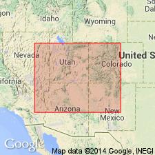
Exposed throughout Rio Chama, Gallina and San Pedro Mountain areas, Rio Arriba Co, NM, San Juan basin. Detailed lithologic description. Is a cliff-forming yellow-gray, fine- to medium-grained sandstone and orange conglomerate composed of granules and pebbles of quartz, quartzite, chert, and a few of limestone or siltstone. Sandstone is horizontally laminated, has thin or thick trough and planar sets of small- to medium-scale low- and high-angle cross strata, locally marked by cuspate ripple marks. Conglomerate forms lenses from a few to 15 ft thick. Conglomerate lenses vary from few in number to as much as 15 percent of the lentil. Ranges from 51 to 162 ft thick. Lower contact with Salitral Shale Tongue of Chinle and upper contact with Petrified Forest Member of Chinle separates sandstone and conglomerate of the lentil from claystone and siltstone. Measured sections. Not known to be continuous with any other sandstone in Chinle. May correlate with Dolores Formation and with Moss Back Member of Chinle. Fossil plants.
Source: GNU records (USGS DDS-6; Denver GNULEX).
For more information, please contact Nancy Stamm, Geologic Names Committee Secretary.
Asterisk (*) indicates published by U.S. Geological Survey authors.
"No current usage" (†) implies that a name has been abandoned or has fallen into disuse. Former usage and, if known, replacement name given in parentheses ( ).
Slash (/) indicates name conflicts with nomenclatural guidelines (CSN, 1933; ACSN, 1961, 1970; NACSN, 1983, 2005, 2021). May be explained within brackets ([ ]).