

- Usage in publication:
-
- Pokeberry limestone
- Modifications:
-
- Original reference
- Dominant lithology:
-
- Limestone
- AAPG geologic province:
-
- Illinois basin
Summary:
Pg. 17, 98. Pokeberry limestone. Marine limestone in lower McLeansboro, between Danville (No. 7) coal above and Brereton limestone. Probably = Jamestown limestone of southern Illinois. [Age is Pennsylvanian.]
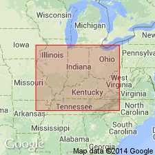
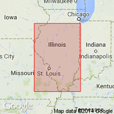
Named from exposures near Pokeberry School, northeast of Rushville, Schuyler Co., central western IL.
Source: Publication; US geologic names lexicon (USGS Bull. 1200, p. 3083-3084); Illinois stratigraphy (Illinois Geol. Survey Bull. 95, p. 192).
- Usage in publication:
-
- Pokeberry limestone
- Modifications:
-
- Principal reference
- Dominant lithology:
-
- Limestone
- AAPG geologic province:
-
- Illinois basin
Summary:
Pg. 11. Pokeberry limestone. Included in Jamestown cyclothem. Type locality designated. [Age is Pennsylvanian.]
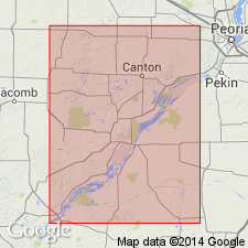
Type locality: outcrops about 1 mi east of Pokeberry School, in NW/4 sec. 26, T. 2 N., R. 1 W., Beardstown 15-min quadrangle, Schuyler Co., central western IL.
Source: US geologic names lexicon (USGS Bull. 1200, p. 3083-3084).
- Usage in publication:
-
- Pokeberry limestone
- Modifications:
-
- Areal extent
- Dominant lithology:
-
- Limestone
- AAPG geologic province:
-
- Illinois basin
Summary:
Pg. 50 (fig. 22), 113. Pokeberry limestone. Blue-gray to greenish-gray limestone commonly 1.5 to 2 feet thick. Columnar section shows Pokeberry limestone stratigraphically below Copperas Creek sandstone and above Sheffield shale. Included in Pokeberry cyclothem (new), Carbondale group. [Age is Pennsylvanian.]
Source: US geologic names lexicon (USGS Bull. 1200, p. 3083-3084).

- Usage in publication:
-
- Pokeberry limestone member
- Modifications:
-
- Revised
- AAPG geologic province:
-
- Illinois basin
Summary:
Pg. 35, 48 (table 1), pl. 1. Pokeberry limestone member of Carbondale formation. Rank reduced to member status in Carbondale formation (redefined). Occurs above Lawson shale member (new) and below Copperas Creek sandstone member. Presentation of new rock-stratigraphic classification of Pennsylvanian strata in Illinois. Cyclical classification retained but is entirely independent of rock-stratigraphic classification.
Source: US geologic names lexicon (USGS Bull. 1200, p. 3083-3084).

- Usage in publication:
-
- Pokeberry Limestone Member
- Modifications:
-
- Overview
- AAPG geologic province:
-
- Illinois basin
Summary:
Pg. 192. Pokeberry Limestone Member of Carbondale Formation. Gray, dense, locally conglomeratic or brecciated limestone containing large fossils, most of them brachiopods. Has a very knobbly upper surface. Known only in type area, where it is 15 feet above the Herrin Coal and 9 feet below the Danville (No. 7) Coal. Correlated by Wanless (1957) with Conant Limestone, but its position and correlation are uncertain. May correlate with the Bankston Fork Limestone.
Source: Publication.
For more information, please contact Nancy Stamm, Geologic Names Committee Secretary.
Asterisk (*) indicates published by U.S. Geological Survey authors.
"No current usage" (†) implies that a name has been abandoned or has fallen into disuse. Former usage and, if known, replacement name given in parentheses ( ).
Slash (/) indicates name conflicts with nomenclatural guidelines (CSN, 1933; ACSN, 1961, 1970; NACSN, 1983, 2005, 2021). May be explained within brackets ([ ]).