- Usage in publication:
-
- Point Loma Formation*
- Modifications:
-
- Named
- Biostratigraphic dating
- Dominant lithology:
-
- Sandstone
- Shale
- Siltstone
- AAPG geologic province:
-
- Peninsular Ranges province
Summary:
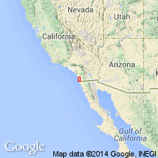
Named as middle of three formations of Rosario Group, Type section designated as exposures along cliff at southern end of Point Loma Peninsula, Point Loma quad, San Diego Co, CA. Lower half composed of interbedded fine-grained, dusky yellow sandstone and olive-gray clay shale in ledgy graded beds about 20 cm thick. Grades into massive grayish-black siltstone in top half of formation. Contains several submarine slides. Thickness is 400 m. Conformably overlies Lusardi Formation (Rosario Group). Conformably underlies Cabrillo Formation (new) (Rosario Group). Age is Late Cretaceous (Campanian and Maestrichtian) based on biostratigraphic dating of foraminifers, mollusks, and coccoliths.
Source: GNU records (USGS DDS-6; Menlo GNULEX).
For more information, please contact Nancy Stamm, Geologic Names Committee Secretary.
Asterisk (*) indicates published by U.S. Geological Survey authors.
"No current usage" (†) implies that a name has been abandoned or has fallen into disuse. Former usage and, if known, replacement name given in parentheses ( ).
Slash (/) indicates name conflicts with nomenclatural guidelines (CSN, 1933; ACSN, 1961, 1970; NACSN, 1983, 2005, 2021). May be explained within brackets ([ ]).

