- Usage in publication:
-
- Pogonip limestone*
- Modifications:
-
- Original reference
- AAPG geologic province:
-
- Great Basin province
Summary:
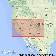
Map 4 (Nevada Plateau) and 1878 (U.S. Geol. Expl. 40th Parallel, v. 1, p. 187-195, 248). Pogonip limestone. Dark limestone; lower limestone beds highly siliceous and steely black, with blue shades, varying a good deal in physical characteristics, passing downward into rather argillaceous shales; higher in series the rock is dark blue and much banded by zones of arenaceous limestone and occasional seams of pure chert several inches thick. Thickness 4,000 feet. Conformably underlies Ogden quartzite (Devonian) and conformably overlies Cambrian quartzite. [This definition includes all beds between Prospect Mountain quartzite (Lower Cambrian) and Eureka quartzite (Middle Ordovician).]
Type locality Pogonip Ridge at White Pine [Hamilton], NV.
Source: US geologic names lexicon (USGS Bull. 896, p. 1689-1690).

- Usage in publication:
-
- Pogonip Group*
- Modifications:
-
- Areal extent
- Dominant lithology:
-
- Limestone
- Shale
- Quartzite
- Dolomite
- AAPG geologic province:
-
- Great Basin province
Summary:
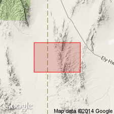
Is Lower and Middle Ordovician formation shown only in cross sections in southern part of Mountain Home Range in western Millard and Beaver Cos, southwest UT (Great Basin province). Is oldest bedrock unit indicated in map area. Is shown below Eureka Quartzite (Middle Ordovician), which is the oldest bedrock unit mapped in study area. Pogonip is described as bioclastic limestone interbedded with olive-gray shale and, in the upper 100 m, with a few beds of reddish-brown quartzite and brownish-gray coralline dolomite. Subsurface only on this map. The Pogonip is more than 1000 m thick in adjacent quadrangles [Tunnel Spring quad., USGS MF-1334, (Hintze, 1981); Halfway Summit quad., USGS MF-1153, (Best and Hintze, 1980)].
Source: GNU records (USGS DDS-6; Denver GNULEX).

- Usage in publication:
-
- Pogonip Group*
- Modifications:
-
- Areal extent
- Overview
- AAPG geologic province:
-
- Great Basin province
Summary:
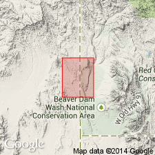
Lower and upper parts separately mapped in southwest part of quad, Lincoln Co, NV, Great Basin province. Formations of Pogonip that occur over most of west-central UT and central NV cannot be identified in southeastern NV because of facies changes. Quad contains easternmost exposures of Ordovician rocks in southern UT and NV; rocks were tectonically transported eastward as part of Tule Springs allochthon. Lower part consists of light bluish- or yellowish-gray silty dolomite with some small chert nodules; includes few thin beds of orange-weathering algal boundstone; thickness is 135 m; conodonts represent lower part of North American conodont fauna D of middle Ibexian (middle Early Ordovician) age based on presence of PROTOPANDERODUS LEEI and "old" aspect of "SCOLOPODUS" GRACILIS elements. Upper part consists of thin- to medium-bedded dolomitic limestone, silty limestone, and few intraformational conglomerate beds; generally nonresistant and forms yellowish slopes; 150 m thick where least deformed. Upper part divided into four subunits (not separately mapped); within lowermost subunit 1 conodonts represent middle part of conodont fauna D (middle Ibexian); within uppermost subunit 4 conodonts represent HISTIODELLA HOLODENTATA Zone of [early] Middle Ordovician (middle Whiterockian) age. Conformably overlies Nopah Dolomite (redescribed); conformably underlies Eureka Quartzite. Middle Early Ordovician to early Middle Ordovician age.
Source: GNU records (USGS DDS-6; Denver GNULEX).
For more information, please contact Nancy Stamm, Geologic Names Committee Secretary.
Asterisk (*) indicates published by U.S. Geological Survey authors.
"No current usage" (†) implies that a name has been abandoned or has fallen into disuse. Former usage and, if known, replacement name given in parentheses ( ).
Slash (/) indicates name conflicts with nomenclatural guidelines (CSN, 1933; ACSN, 1961, 1970; NACSN, 1983, 2005, 2021). May be explained within brackets ([ ]).

