The National Geologic Map Database is migrating to a new infrastructure. We apologize for any service disruptions during this process.
|
|---|


- Usage in publication:
-
- Pleasanton Group
- Modifications:
-
- Revised
- AAPG geologic province:
-
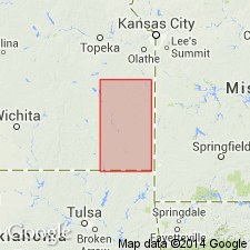
- Cherokee basin
Summary:
Redefined to include upward Seminole Formation, Checkerboard Limestone, and Tacket Formation in outcrop belt in Labette Co., southeast KS in Cherokee basin. Base of group at top of Holdenville Shale of Marmaton Group at a regional disconformity marking Desmoinesian-Missourian boundary. Hepler Sandstone Member of Seminole Formation widespread above disconformity. Assigned an early Missourian, Late Pennsylvanian age.
Source: GNU records (USGS DDS-6; Denver GNULEX).
- Usage in publication:
-
- Pleasanton Group
- Modifications:
-
- Revised
- Overview
- AAPG geologic province:
-
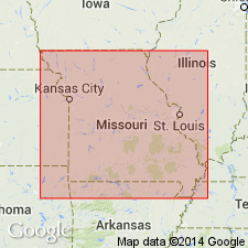
- Forest City basin
- Iowa shelf
- Lincoln anticline
Summary:
Revised to include three formations which are, in ascending order: Seminole, Lees Summit (new), and Shale Hill (new) Formations. Intra-Pleasanton unconformity occurs at base of Shale Hill. Unit and its divisions occur in western MO and southern IA, Forest City basin, Iowa shelf, and Lincoln anticline. Unconformably overlies Holden Formation of Marmaton Group; disconformably underlies Critzer Limestone Member of Hertha Formation of Kansas City Group. Correlation chart. Measured sections. Fossil list. Late Pennsylvanian (early Missourian) age.
Source: GNU records (USGS DDS-6; Denver GNULEX).
For more information, please contact Nancy Stamm, Geologic Names Committee Secretary.
Asterisk (*) indicates published by U.S. Geological Survey authors.
"No current usage" (†) implies that a name has been abandoned or has fallen into disuse. Former usage and, if known, replacement name given in parentheses ( ).
Slash (/) indicates name conflicts with nomenclatural guidelines (CSN, 1933; ACSN, 1961, 1970; NACSN, 1983, 2005, 2021). May be explained within brackets ([ ]).