- Usage in publication:
-
- Platteville limestone*
- Modifications:
-
- Original reference
- Dominant lithology:
-
- Limestone
- Dolomite
- AAPG geologic province:
-
- Wisconsin arch
Summary:
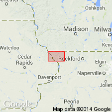
Pg. 18-19. Platteville limestone. The beds heretofore called "Trenton limestone" in Mississippi Valley region, but older than Trenton. Consists of (descending): (1) 10 to 20 feet of thin beds of limestone and shale; (2) 25 to 30 feet of thin-bedded brittle limestone breaking with conchoidal fracture and at times called "glass rock"; (3) 20 to 25 feet of buff to blue magnesium heavy-bedded limestone, frequently a dolomite; and (4) 1 to 5 feet of blue shale and sandy shale. Overlies St. Peter sandstone and underlies the massive Galena limestone. The formation is typically exposed in vicinity of Platteville, Grant Co., southwestern Wisconsin, and entire thickness may be seen along Little Platte River west of that town. The black shales of No. 1 are locally termed "oil rock," but the main bed of chocolate-colored shale, or the "oil rock" of the lead and zinc district, lies just at base of overlying Galena. [E.O. Ulrich assigned these pre-Galena beds to the Black River and the Galena to the Trenton in 1879. See under Galena dolomite.]
[GNC remark (ca. 1936, US geologic names lexicon, USGS Bull. 896, p. 1679): As above defined included at top the beds later (1906) named Decorah shale and now treated as a distinct formation. Some writers now exclude from base the shale which has been named Glenwood shale. The USGS and the 1935 Conf. Rpt. Kansas Geol. Soc. include this shale in Platteville limestone.]
Source: US geologic names lexicon (USGS Bull. 896, p. 1679).
- Usage in publication:
-
- Platteville formation
- Modifications:
-
- Areal extent
- AAPG geologic province:
-
- Williston basin
Summary:
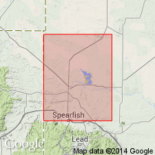
Uses name in Butte Co, SD, Williston basin, for subsurface unit of red to green and greenish-gray bentonitic shale, slightly sandy at base with scattered minute black phosphatic nodules, overlain in upper part by interbedded greenish-brown limy siltstone, gray fine- to coarse-grained sandstone, gray silty sandstone, and gray siltstone. Thickness 90-118 ft. Underlain by the St. Peter formation; overlain by Whitewood formation. Correlated with [the upper] part of Winnipeg formation in ND. Also called Black River formation or shale. Ordovician in age.
Source: GNU records (USGS DDS-6; Denver GNULEX).
- Usage in publication:
-
- Platteville formation
- Modifications:
-
- Revised
- AAPG geologic province:
-
- Sioux uplift
Summary:
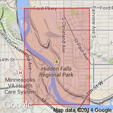
Name Hidden Falls applied to middle member (of 5) of Platteville formation in St. Paul area, Ramsey County, Minnesota, on the Sioux uplift. Hidden Falls overlies Mifflin member of Platteville and underlies Magnolia member of Platteville. Age not stated.
Source: GNU records (USGS DDS-6; Denver GNULEX).
- Usage in publication:
-
- Platteville Formation
- Modifications:
-
- Overview
Summary:
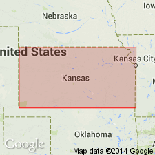
(Paleozoic Era; [Cambrian through Mississippian Systems] by E.D. Goebel, p. 14-15.) Platteville Formation of Simpson Group. The upper beds of the Platteville Formation in Kansas consist of dolomite, limestone, sandstone, and green shale, and in the basal part is a persistent dolomite 5 to 35 feet thick. Some sand generally occurs in the basal dolomite and disseminated in the shales and dolomites of the upper part. The formation is restricted to the North Kansas basin. The Platteville is unconformable on the St. Peter Sandstone in northeastern Kansas (Lee, et al., 1946) [USGS Oil and Gas Inv. Prelim. Map, no. 48]. Maximum known thickness of the formation in Kansas is 100 feet in Brown County; it wedges out southward on the flanks of the Chautauqua arch and the Central Kansas uplift. Twenhofel et al (1954) [GSA Bull., v. 65, p. 247-298] assigned a Middle Ordovician (Blackriveran) age to outcropping Platteville rocks in Missouri. Leatherock (1945) [Kansas Geol. Survey Bull., no. 60, pt. 1, 16 p.] correlated the Platteville in Kansas with the Decorah of Missouri. Occurs below Viola Limestone of Simpson Group. Age is Middle Ordovician.
Source: Publication.
- Usage in publication:
-
- Platteville Formation
- Modifications:
-
- Revised
- Overview
- AAPG geologic province:
-
- Wisconsin arch
Summary:
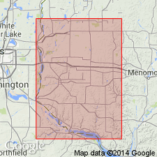
Platteville Formation extensively quarried as building stone in River Falls area, Wisconsin. Minnesota's stratigraphic nomenclature is employed in this report, as subdivisions are more useful than Wisconsin's. Four members are exposed at Cudd's Quarry (ascending) Pecatonica, Hidden Falls, Magnolia, and Carimona Members. Overlies Glenwood Formation and underlies Decorah Shale.
Source: GNU records (USGS DDS-6; Reston GNULEX).
- Usage in publication:
-
- Platteville Formation*
- Platteville Group*
- Modifications:
-
- Overview
- AAPG geologic province:
-
- Wisconsin arch
- Illinois basin
- Iowa shelf
Summary:
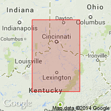
Platteville Formation and Platteville Group. According to Ross and others (1982), upper Platteville Formation (in Iowa, Wisconsin, and Minnesota) or upper Platteville Group (in Illinois) correlates with Tyrone Limestone of north-central Tennessee.
Source: Modified from GNU records (USGS DDS-6; Denver GNULEX).
For more information, please contact Nancy Stamm, Geologic Names Committee Secretary.
Asterisk (*) indicates published by U.S. Geological Survey authors.
"No current usage" (†) implies that a name has been abandoned or has fallen into disuse. Former usage and, if known, replacement name given in parentheses ( ).
Slash (/) indicates name conflicts with nomenclatural guidelines (CSN, 1933; ACSN, 1961, 1970; NACSN, 1983, 2005, 2021). May be explained within brackets ([ ]).

