- Usage in publication:
-
- Piscataway member
- Modifications:
-
- Named
- Dominant lithology:
-
- Sand
- Marl
- AAPG geologic province:
-
- Atlantic Coast basin
Summary:
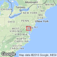
Named Piscataway member for basal member of Aquia formation from Piscataway Creek which enters the Potomac River on the Maryland bank, 10 miles below Washington, D.C. Characterized by greensands and greensand marls with lower beds quite argillaceous and upper beds are persistent layers of indurated marl. Thickness generally exceeds 50 feet. Unconformably overlies Cretaceous deposits and underlies Paspotansa member of Aquia formation. Considered of Eocene age.
Source: GNU records (USGS DDS-6; Reston GNULEX).

- Usage in publication:
-
- Piscataway Member
- Modifications:
-
- Not used
- AAPG geologic province:
-
- Atlantic Coast basin
Summary:
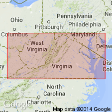
The two members of the Aquia Formation, the Piscataway and the Paspotansa, were differentiated on the basis of their weathered appearance. The writer found that the Piscataway, at its type locality, is a yellowish-brown, glauconitic quartz sand--a color and lithology that Clark and Martin attributed to the Paspotansa. It is proposed here to drop the Piscataway and Paspotansa as Members of the Aquia as the basis upon which the units were defined is unreliable.
Source: GNU records (USGS DDS-6; Reston GNULEX).

- Usage in publication:
-
- Piscataway Member*
- Modifications:
-
- Principal reference
- Biostratigraphic dating
- Dominant lithology:
-
- Sand
- AAPG geologic province:
-
- Atlantic Coast basin
Summary:
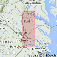
Designated lectostratotype for Piscataway Member of Aquia Formation as a 4.3-m section located on the right bank of the Potomac River, 2.4 km below mouth of Aquia Creek and Youbedam Landing, Stafford Co., VA, Passapatanzy 7.5-min quad. The Aquia Formation shows a significant lithic change from a poorly sorted, clayey sand to a very well sorted, micaceous, silty, fine sand. This lithic change is the recommended boundary between the Piscataway Member (lower) and Paspotansa Member (upper). The remaining Piscataway Member beds consist of clayey, silty, poorly sorted, glauconitic sands, which contain large numbers of macrofossils (mainly mollusks). The Piscataway Member unconformably overlies the Brightseat Formation and underlies (possibly disconformably) the Paspotansa Member. Molluscan taxa indicate a late Paleocene age, probably late Landenian.
Source: GNU records (USGS DDS-6; Reston GNULEX).
For more information, please contact Nancy Stamm, Geologic Names Committee Secretary.
Asterisk (*) indicates published by U.S. Geological Survey authors.
"No current usage" (†) implies that a name has been abandoned or has fallen into disuse. Former usage and, if known, replacement name given in parentheses ( ).
Slash (/) indicates name conflicts with nomenclatural guidelines (CSN, 1933; ACSN, 1961, 1970; NACSN, 1983, 2005, 2021). May be explained within brackets ([ ]).

