

- Usage in publication:
-
- Pillar Falls mud flow*
- Modifications:
-
- Named
- Dominant lithology:
-
- Gravel
- Ash
- Soil
- AAPG geologic province:
-
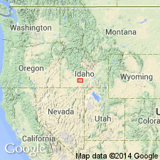
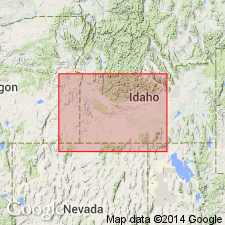
- Snake River basin
Summary:
Type locality designated at Pillar Falls, for which unit is probably named, located on Snake River [in sec 35, T9S, R17E], Jerome and Twin Falls Co, ID, Snake River basin. Consists of well-rounded gravel and boulders several feet in diameter; pebbles and boulders are of andesitic composition and are intermingled with ash and soil. Ranges up to 40 ft thick. Unconformably overlies Shoshone Falls andesite (new); underlies Neeley lake beds (new). Stratigraphic chart. Assigned Miocene? or late? Miocene age.
Source: GNU records (USGS DDS-6; Denver GNULEX).
- Usage in publication:
-
- Pillar Falls mud flow*
- Modifications:
-
- Overview
- AAPG geologic province:
-
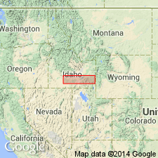
- Snake River basin
Summary:
Outcrops only in vertical walls of Snake River canyon; mapped undifferentiated with underlying Shoshone Falls andesite along banks of Snake River from Twin Falls (waterfall) downstream to area of Perrine ranch, Twin Falls and Jerome Cos, ID, Snake River basin, a distance of 6 mi. Recovery of boulders of Pillar Falls from Twin Fall Cemetery well in sec 14, T10S, R17E, Twin Falls Co, indicates that unit extends at least 3 mi farther southeast than mapped. Unit was deposited during time between eruption of Shoshone Falls andesite and episode of basaltic eruptions when a torrential rain swept incoherent material off slopes forming a pasty flow of mud. Mud flow consists of poorly sorted, well-rounded gravel and boulders several feet in diameter in a gray matrix of sand, ash and soil. Younger than Pliocene? gravel and sand near Medicine Lodge Creek. Geologic maps; stratigraphic chart. Miocene? or late? Miocene age.
Source: GNU records (USGS DDS-6; Denver GNULEX).
- Usage in publication:
-
- Pillar Falls Mudflow*†
- Modifications:
-
- Abandoned
Summary:
Abandoned in Snake River basin. [Reasons not specified]. Replaced by Idavada Volcanics.
Source: GNU records (USGS DDS-6; Denver GNULEX).
For more information, please contact Nancy Stamm, Geologic Names Committee Secretary.
Asterisk (*) indicates published by U.S. Geological Survey authors.
"No current usage" (†) implies that a name has been abandoned or has fallen into disuse. Former usage and, if known, replacement name given in parentheses ( ).
Slash (/) indicates name conflicts with nomenclatural guidelines (CSN, 1933; ACSN, 1961, 1970; NACSN, 1983, 2005, 2021). May be explained within brackets ([ ]).