- Usage in publication:
-
- Pecan Gap Chalk
- Modifications:
-
- Mapped 1:250k
- Dominant lithology:
-
- Chalk
- AAPG geologic province:
-
- East Texas basin
- Ouachita folded belt
Summary:
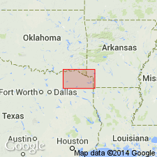
Pecan Gap Chalk. Chalk, in part argillaceous and sandy, slightly bituminous, glauconitic, phosphatic at base, bluish-gray; weathers light-gray and white; marine megafossils. Thickness 120 feet. [Correlative with upper part of Annona Chalk mapped around and east of Clarksville, Texas.] Lies above Wolfe City and Ozan formations, and below Marlbrook Marl. Age is Late Cretaceous.
[Mapped as mostly continuous belt west of Clarksville, TX, in Red River, Lamar, Delta, Fanin, and Hunt Cos., northeastern TX.]
Source: Publication.

- Usage in publication:
-
- Pecan Gap Chalk
- Modifications:
-
- Mapped 1:250k
- Dominant lithology:
-
- Chalk
- Marl
- AAPG geologic province:
-
- East Texas basin
- Ouachita folded belt
Summary:
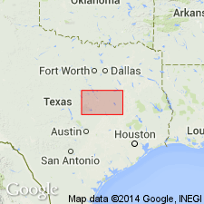
Pecan Gap Chalk. Chalk in lower part grading upward to chalky marl with microgranular calcite in clay matrix, microfossils and megafossil fragments more abundant northward, well-rounded quartz grains in lower part, medium gray; weathers light gray and white. Thickness up to 215 feet, feathers out northward near Munger, eastern Texas. Lies above Wolfe City Formation and below Marlbrook Marl ("upper Taylor marl"). Age is Late Cretaceous.
Mapped in Bell, Falls, Hill, Limestone, and McLennan Cos., eastern TX.
Source: Publication.

- Usage in publication:
-
- Pecan Gap Chalk
- Modifications:
-
- Mapped 1:250k
- Dominant lithology:
-
- Chalk
- Marl
- AAPG geologic province:
-
- Gulf Coast basin
- Ouachita folded belt
Summary:
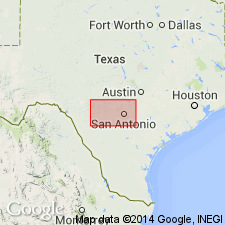
Pamphlet [p. 5]. Pecan Gap Chalk. Chalk and chalky marl, more calcareous westward, very light-yellow to yellowish brown, weathers to form moderately deep soil, seldom exposed; EXOGYRA PONDEROSA common; thickness 100 to 400 feet, thins westward to eastern Medina County where it is overlain by Anacacho Limestone, beyond this point included with Austin Chalk. Age is Late Cretaceous.
[Mapped in Medina, Bexar, Comal, Hays, and Guadalupe Cos., southern TX.]
Source: Publication.

- Usage in publication:
-
- Pecan Gap Chalk
- Modifications:
-
- Mapped 1:250k
- Dominant lithology:
-
- Limestone
- Chalk
- Clay
- AAPG geologic province:
-
- East Texas basin
- Ouachita folded belt
Summary:
Pamphlet [p. 2]. Pecan Gap Chalk. In northern and central Collin County, Texas, upper 45 feet composed of alternating intervals of dark bluish-gray, well-indurated, granular limestone and light- to medium-olive-gray, soft lime sand; both lithologies are glauconitic, but most glauconite is in lime sand; glauconite decreases in abundance southward, phosphate pebbles scattered throughout, burrows common, thin- to very thin-bedded, lime sand minutely cross-bedded, marine megafossils abundant. Southward, lime sand replaced by bluish-gray, silty, calcareous clay; eastward in Hunt County, Texas, and beyond, lime sand grades to bluish-white, partly sandy, well-bedded chalk; marine megafossils scarce. Lower 5 feet composed of chalk and marl, bluish-gray, weathers to light-gray to white; soft, sandy with marine megafossils. Thickness of Pecan Gap Chalk 50 to 70 feet. Lies below Marlbrook Marl and above Wolfe City Sand. Age is Late Cretaceous.
[Mapped in mostly continuous belt in southeastern part of map sheet, in Hunt and Collin Cos., northeastern TX.]
Source: Publication.
For more information, please contact Nancy Stamm, Geologic Names Committee Secretary.
Asterisk (*) indicates published by U.S. Geological Survey authors.
"No current usage" (†) implies that a name has been abandoned or has fallen into disuse. Former usage and, if known, replacement name given in parentheses ( ).
Slash (/) indicates name conflicts with nomenclatural guidelines (CSN, 1933; ACSN, 1961, 1970; NACSN, 1983, 2005, 2021). May be explained within brackets ([ ]).

