- Usage in publication:
-
- Pearlette ash
- Modifications:
-
- Original reference
- Dominant lithology:
-
- Ash
- AAPG geologic province:
-
- Anadarko basin
- Las Vegas-Raton basin
- Cherokee basin
- Salina basin
Summary:
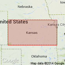
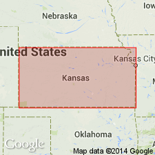
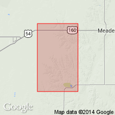
Pg. 53, 54. Pearlette ash. Widespread horizon of white to brownish, rarely greenish, volcanic ash, 13 feet thick, underlying Kingsdown marls and overlying Meade gravels. Supposed to be late Pliocene and to belong to Tule division of Cummins (EQUUS beds of Cope).
Named from old post office of Pearlette, Meade Co., southwestern KS.
Source: US geologic names lexicon (USGS Bull. 896, p. 1621).
- Usage in publication:
-
- Pearlette ash
- Modifications:
-
- Not used
- AAPG geologic province:
-
- Sedgwick basin
Summary:
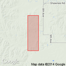
(Following is credited to Erasmus Haworth.) As it is yet open question regarding true nature of material of Pearlette ash of Cragin, and much more so regarding its mode of deposition, it is hardly desirable to draw many conclusions from their supposed origin, and it is less desirable to group the little isolated patches together and assign them to a geologic terrane including nothing else..
Source: US geologic names lexicon (USGS Bull. 896, p. 1621).
- Usage in publication:
-
- Pearlette ash
- Modifications:
-
- Revised
- AAPG geologic province:
-
- Anadarko basin
Summary:
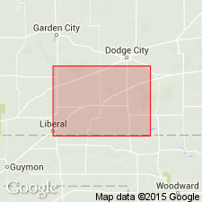
Pg. 411. Cragin's Pearlette ash included in Meade formation (redefined). [Age is Pleistocene.]
Source: Publication; US geologic names lexicon (USGS Bull. 1200, p. 2957-2958).
- Usage in publication:
-
- Pearlette ash member
- Modifications:
-
- Revised
- AAPG geologic province:
-
- Anadarko basin
Summary:
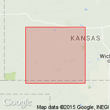
Pg. 742. Pearlette ash referred to as member of Meade formation. [Age is Pleistocene.]
Source: US geologic names lexicon (USGS Bull. 1200, p. 2957-2958).
- Usage in publication:
-
- Pearlette ash
- Modifications:
-
- Areal extent
- AAPG geologic province:
-
- Salina basin
Summary:
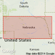
Pg. 22, 23. Pearlette ash has wide occurrence in Nebraska, Kansas, South Dakota, Iowa, and is perhaps best horizon marker in the Pleistocene. In Kansas, occurs between Upland and Crete (new) formations. Iowa places the volcanic ash exposed northeast of Little Sioux, Harrison County, in Loveland formation. [Age is Pleistocene.]
Source: US geologic names lexicon (USGS Bull. 1200, p. 2957-2958).
- Usage in publication:
-
- Pearlette ash
- Modifications:
-
- Areal extent
Summary:
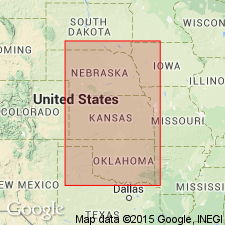
Pg. 501-523. Pearlette ash. Ash lentils, collectively called Pearlette, can be differentiated petrographically from other late Cenozoic ash deposits of Plains region and have been studied at localities extending from southeastern South Dakota to northwestern Texas. Associated molluscan fauna possesses a great degree of uniformity and stratigraphic significance. Pearlette ash and faunal zone occurs above Kansas till and below Loveland loess and Iowa till in Missouri Valley region and is judged to be early Yarmouthian in age [Pleistocene].
Source: US geologic names lexicon (USGS Bull. 1200, p. 2957-2958).
- Usage in publication:
-
- Pearlette ash member
- Modifications:
-
- Revised
- AAPG geologic province:
-
- Anadarko basin
Summary:
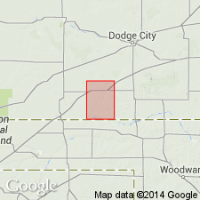
Pg. 69 (fig. 1), 71. Pearlette ash member of Crooked Creek formation. Reallocated to member status in Crooked Creek formation (new). Thickness about 7 feet. [Age is Pleistocene.]
Source: US geologic names lexicon (USGS Bull. 1200, p. 2957-2958).
- Usage in publication:
-
- [Pearlette ash member*]
- Modifications:
-
- Revised
Summary:
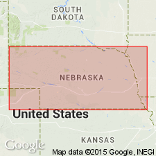
Pg. 22-24. [Pearlette ash member of Sappa formation.] Pearlette ash, thickness 15 feet, occurs in Sappa formation. [Age is Pleistocene.]
Source: US geologic names lexicon (USGS Bull. 1200, p. 2957).
- Usage in publication:
-
- Pearlette ash bed
- Modifications:
-
- Revised
Summary:
Pg. 14-15. Pearlette volcanic ash bed. Bed in Sappa member of Meade formation. Age is Pleistocene (Yarmouthian and Kansan Stages).
Source: Publication; US geologic names lexicon (USGS Bull. 1200, p. 2957-2958).
- Usage in publication:
-
- Pearlette volcanic ash
- Modifications:
-
- Revised
- AAPG geologic province:
-
- Anadarko basin
Summary:
Assigned as an unranked unit to the Atwater member (new) of the Crooked Creek formation (revised) of the Meade group (revised). Is a 3.1 ft thick pearl gray, lenticular, impure ash that lies 15.5 ft above base of Atwater and 31.1 ft below top of Atwater. Of Pleistocene age. History of stratigraphic usage chart.
Source: GNU records (USGS DDS-6; Denver GNULEX).
- Usage in publication:
-
- Pearlette family of ash beds*
- Modifications:
-
- Revised
- AAPG geologic province:
-
- Anadarko basin
- Paradox basin
Summary:
Formerly thought to have been one ash-fall over the Great Plains and Rocky Mountain area. Recent petrographic and chemical studies of ash samples called Pearlette have shown that there are at least three different ash beds of closely related petrographic properties to tuffs in the Yellowstone area, WY. One, designated Pearlette type O [for occurrence at?] Onion Creek, SE1/4 NE1/4 sec 26, T24S, R24E, Grand Co, UT, Paradox basin has 0.7 +/-0.2 m.y. age, and occurrence at three localities in Meade Co, KS, Anadarko basin has 0.6 +/-0.07 to 0.9 +/-0.25 m.y. Type O correlates with Lava Creek Tuff of Yellowstone area. Pearlette type S (1.20 +/-0.04 m.y.) is correlated with Mesa Falls Tuff of Yellowstone area and is not well dated because zircons are of small size and paucity. Pearlette type B named for occurrence in Borchers local fauna at Cudahy mine, Meade Co, KS, Anadarko basin has an age of 2.0 m.y. and is correlated with the Huckleberry Ridge Tuff of Yellowstone area.
Source: GNU records (USGS DDS-6; Denver GNULEX).
- Usage in publication:
-
- Pearlette family ash bed (informal)*
- Pearlette type B ash bed*†
- Pearlette type S ash bed*†
- Pearlette type O ash bed*†
- Pearlette Ash Member*†
- Modifications:
-
- Areal extent
- AAPG geologic province:
-
- Anadarko basin
- Central Kansas uplift
- Cherokee basin
- Denver basin
- Forest City basin
- Iowa shelf
- Las Animas arch
- Nemaha anticline
- Palo Duro basin
- Permian basin
- Salina basin
- Sedgwick basin
- Sioux uplift
Summary:
Names for Pearlette family of ash beds previously called Pearlette types B (2.02 Ma), S (1.27 Ma), and O (0.62 Ma) by Izett and others (1970; 1971) and Naeser and others (1973) are changed based on high probability of their tephrochronologic correlation with formally named pyroclastic, source-area rocks units (ascending, Huckleberry Ridge Tuff, Mesa Falls Tuff, and Lava Creek Tuff of Yellowstone Group) in Yellowstone National Park area, Wyoming and Idaho. Pearlette type B renamed Huckleberry Ridge ash bed; Pearlette type S renamed Mesa Falls ash bed; Pearlette type O correlates with upper member (member B) of Lava Creek Tuff and is renamed Lava Creek B ash bed. Name Pearlette family ash bed is to be used only in a broad sense when not enough chemical and mineralogical data are available to specifically identify a particular ash. Pearlette Ash Member of Sappa Formation is here abandoned. Age is Pliocene and Pleistocene; Plio-Pliocene boundary placed at 1.8 Ma.
Ashes assigned to Pearlette family ash bed occur in: Jefferson Co., CO; Guthrie, Pottawattamie, and Ringgold Cos., IA; Chautauqua, Clark, Comanche, Dickinson, Ellis, Ellsworth, Gove, Graham, Grant, Harper, Jewell, Johnson, Kiowa, Logan, Lyon, Marshall, McPherson, Nemaha, Ness, Ottawa, Phillips, Pratt, Rawlins, Reno, Rice, Rooks, Sheridan, Smith, Stafford, Trego, and Washington Cos., KS; Douglas, Franklin, Johnson, Knox, Nuckolls, Seward, and Webster Cos., NE; Blaine and Dewey Cos., OK; Tripp Co., SD; and Briscoe, Collingsworth, Hardeman, Motley, and Randall Cos., TX.
Source: Publication.
For more information, please contact Nancy Stamm, Geologic Names Committee Secretary.
Asterisk (*) indicates published by U.S. Geological Survey authors.
"No current usage" (†) implies that a name has been abandoned or has fallen into disuse. Former usage and, if known, replacement name given in parentheses ( ).
Slash (/) indicates name conflicts with nomenclatural guidelines (CSN, 1933; ACSN, 1961, 1970; NACSN, 1983, 2005, 2021). May be explained within brackets ([ ]).

