

- Usage in publication:
-
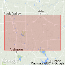
- Patterson Ranch group
- Modifications:
-
- Named
- Dominant lithology:
-
- Limestone
- Shale
- AAPG geologic province:
-
- South Oklahoma folded belt
Summary:
Named for Patterson Ranch on south edge of Arbuckle Mountains on east side of U.S. Hwy 77, Murray Co[?], OK in the South Oklahoma folded belt province. No type locality designated. Proposed name for limestone-shale series of formations: Viola formation, Fernvale formation, and Sylvan shale. No discussion of lithology or thickness. No discussion of regional correlation. Overlies Simpson group; underlies Silurian Chimney Hill formation. Age is Ordovician.
Source: GNU records (USGS DDS-6; Denver GNULEX).
For more information, please contact Nancy Stamm, Geologic Names Committee Secretary.
Asterisk (*) indicates published by U.S. Geological Survey authors.
"No current usage" (†) implies that a name has been abandoned or has fallen into disuse. Former usage and, if known, replacement name given in parentheses ( ).
Slash (/) indicates name conflicts with nomenclatural guidelines (CSN, 1933; ACSN, 1961, 1970; NACSN, 1983, 2005, 2021). May be explained within brackets ([ ]).