- Usage in publication:
-
- Parker Bog formation*
- Modifications:
-
- Named
- Biostratigraphic dating
- Dominant lithology:
-
- Tuff
- Limestone
- AAPG geologic province:
-
- New England province
Summary:
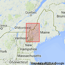
Pg. 156 (fig. 16), 173, pl. 34. Parker Bog formation. Consists of interbedded light-gray limestone and white-weathering, flinty, fossiliferous felsite (tuff) in beds a few inches to a few feet thick. Thickness about 200 feet at type section and below Gore Rapids (Spencer [Spencer Lake] 15-min quadrangle). Underlies Seboomook formation. Conformably overlies undifferentiated strata of Silurian and Devonian age, as suggested by parallel bedding; actual contacts not observed. Age is probably Early Devonian, based on leptostrophid brachiopod (pre-Onondaga age) and probable EATONIA brachiopod of Early Devonian age. Report includes geologic map and correlation chart.
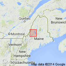
Type section: Parker Bog Ponds, in northwest part of southwest quarter of Pierce Pond 15-min quadrangle, where strata is vertical. Exposed at Parker Bog Ponds and extending southwestward as a narrow belt about 8 mi long. Named from Parker Bog Ponds, northern Somerset Co., west-central ME.
Source: GNU records (USGS DDS-6; Reston GNULEX); US geologic names lexicon (USGS Bull. 1350, p. 556).

- Usage in publication:
-
- Parker Bog Formation*
- Modifications:
-
- Age modified
- Biostratigraphic dating
- AAPG geologic province:
-
- New England province
Summary:
Age changed from Early Devonian(?) of Boucot (1961) to Early Devonian, late Gedinnian (Helderbergian) based on shelly fauna found at two localities in Spencer Lake and Pierce Pond quads in limestone associated with felsite (Boucot and Heath, 1969).
Source: GNU records (USGS DDS-6; Reston GNULEX).
For more information, please contact Nancy Stamm, Geologic Names Committee Secretary.
Asterisk (*) indicates published by U.S. Geological Survey authors.
"No current usage" (†) implies that a name has been abandoned or has fallen into disuse. Former usage and, if known, replacement name given in parentheses ( ).
Slash (/) indicates name conflicts with nomenclatural guidelines (CSN, 1933; ACSN, 1961, 1970; NACSN, 1983, 2005, 2021). May be explained within brackets ([ ]).

