- Usage in publication:
-
- Park Tuff
- Modifications:
-
- First used
- Dominant lithology:
-
- Tuff
- Sandstone
- AAPG geologic province:
-
- Pedregosa basin
Summary:
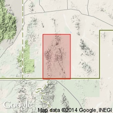
First use of name. On geologic map only. No type locality designated. Scattered exposures in western half of Animas Mountains from Bull Creek, sec 18, T30S, R18W to the southern border of the quad, and extends west and southwest into the adjacent quads. Is a white, welded rhyolite tuff with phenocrysts of clear quartz and iridescent sanidine and with pumaceous lithic lenses; sandstone bed commonly found at base; formation thin but persistent. Is younger than Center Peak Latite and older than OK-Bar Conglomerate, Pine Canyon Formation, and Double Adobe Latite (all new). Is generally equivalent to felsite in southern part of area, although in one place, where both formations are in contact, felsite overlies Park Tuff. Is of Tertiary age.
Source: GNU records (USGS DDS-6; Denver GNULEX).

- Usage in publication:
-
- Park Tuff
- Modifications:
-
- Named
- Dominant lithology:
-
- Tuff
- Sandstone
- AAPG geologic province:
-
- Pedregosa basin
Summary:
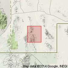
Named from its exposures around the rim of "The Park" (fig. 3). No type locality designated. Scattered exposures in western half of Animas Mountains from Bull Creek, sec 18, T30S, R18W to the southern border of the quad, and extends west and southwest into the adjacent quads (Zeller, 1962). Geologic map. Is a thin sheet of tuff that was deposited over most if not all of the quad. Commonly forms tops of flat-topped or gently sloping mesas. Consists of a basal sandstone member 20-100 ft thick, and an overlying tabular bed of uniform white rhyolite tuff 0-300 ft thick. Is very uniform vertically and laterally, with numerous crystals of sanidine and quartz. Rock is well indurated. White pumiceous lenses parallel to bedding common throughout. Weathers dull gray and cream and forms resistant flat tabular sheets; conspicuous columnar jointing in some places. Rests on an erosion surface cut into Center Peak Latite, Gillespie Tuff, and Cedar Hill Andesite (all new). Is overlain by OK-Bar Conglomerate (new) in most areas, but along northern part of Double Adobe Creek is overlain by Double Adobe Latite (new). Wedges out in southern part of quad. Is Tertiary in age.
Source: GNU records (USGS DDS-6; Denver GNULEX).
For more information, please contact Nancy Stamm, Geologic Names Committee Secretary.
Asterisk (*) indicates published by U.S. Geological Survey authors.
"No current usage" (†) implies that a name has been abandoned or has fallen into disuse. Former usage and, if known, replacement name given in parentheses ( ).
Slash (/) indicates name conflicts with nomenclatural guidelines (CSN, 1933; ACSN, 1961, 1970; NACSN, 1983, 2005, 2021). May be explained within brackets ([ ]).

