- Usage in publication:
-
- Paragon Formation*
- Modifications:
-
- Named
- Dominant lithology:
-
- Shale
- Dolostone
- Limestone
- AAPG geologic province:
-
- Cincinnati arch
Summary:
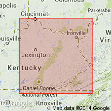
The Paragon Formation, here named, is a sequence of shale, dolostone, and limestone which is divided into a lower dark shale member, a clastic member, a limestone member, and an upper shale member. Strata of the Paragon Formation were previously assigned to the Pennington Formation or Newman Limestone, which are here excluded from the Cumberland Escarpment outcrop belt in KY. The Paragon occurs throughout the outcrop belt south of Greenup Co., southward to an arbitrary cutoff against the Pennington at the southern border of KY. Conformably overlies the Poppin Rock Member of the Slade Formation or the Bangor Limestone; disconformably underlies Pennsylvanian units. Thickness varies from 0 to 60 m. Age is Late Mississippian.
Source: GNU records (USGS DDS-6; Reston GNULEX).

- Usage in publication:
-
- Paragon Formation
- Modifications:
-
- Revised
- AAPG geologic province:
-
- Appalachian basin
Summary:
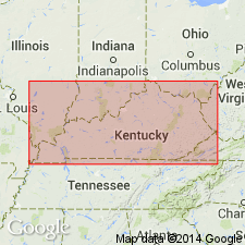
Paragon Formation, restricted to the western belt of outcrop in KY, is included in the Pennington Group and is largely equivalent to the Bluefield Formation.
Source: GNU records (USGS DDS-6; Reston GNULEX).
For more information, please contact Nancy Stamm, Geologic Names Committee Secretary.
Asterisk (*) indicates published by U.S. Geological Survey authors.
"No current usage" (†) implies that a name has been abandoned or has fallen into disuse. Former usage and, if known, replacement name given in parentheses ( ).
Slash (/) indicates name conflicts with nomenclatural guidelines (CSN, 1933; ACSN, 1961, 1970; NACSN, 1983, 2005, 2021). May be explained within brackets ([ ]).

