- Usage in publication:
-
- Ozaukee Member
- Modifications:
-
- Named
- Dominant lithology:
-
- Till
- AAPG geologic province:
-
- Wisconsin arch
Summary:
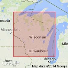
Following the informal usage of Acomb (1978), the Ozaukee Member is here named the lowermost member of the Kewaunee Formation in the Lake Michigan Lobe in Ozaukee and Milwaukee Counties, WI. It consists of reddish-brown or pinkish-gray, pebbly, clayey, and silty till and associated lake sediments. Overlies the Oak Creek Formation; is present at the top of the Lake Michigan coastal bluff from Milwaukee to Sheboygan Co. where it is the surface unit. Equivalent to the Branch River and Silver Cliff Members of the Kewaunee Formation in the Green Bay Lobe. Thickness varies from 2.4 m to 20 m. Age is Pleistocene (late Wisconsinan).
Source: GNU records (USGS DDS-6; Reston GNULEX).
For more information, please contact Nancy Stamm, Geologic Names Committee Secretary.
Asterisk (*) indicates published by U.S. Geological Survey authors.
"No current usage" (†) implies that a name has been abandoned or has fallen into disuse. Former usage and, if known, replacement name given in parentheses ( ).
Slash (/) indicates name conflicts with nomenclatural guidelines (CSN, 1933; ACSN, 1961, 1970; NACSN, 1983, 2005, 2021). May be explained within brackets ([ ]).

