- Usage in publication:
-
- Owens Valley formation*
- Modifications:
-
- Original reference
- Dominant lithology:
-
- Limestone
- Shale
- Siltstone
- Sandstone
- Conglomerate
- AAPG geologic province:
-
- Great Basin province
Summary:
Pg. 4 (table 1), 6 (table 2), 7-12. Owens Valley formation. Name proposed for highly diverse marine strata of Permian age which occupy large area on western slope of Inyo Mountains near Owens Valley border. Comprises interbedded silty and sandy limestone, fairly pure biogenic limestone, argillaceous shale, siltstone, sandstone, and conglomerate. In areas of plutonic intrusion, formation has been altered to argillite, minor quartzite, and calc-hornfels. Rocks previously classified as Diamond Peak quartzite (Kirk, 1918) are in considerable part considered altered middle and lower Owens Valley. Diamond Peak formation, and Upper Mississippian unit in central Nevada (Nolan and others, 1956) has not been traced into Inyo Mountains. Includes Reward conglomerate member (near top) and Owenyo limestone member. Thickness at type locality about 1,800 feet; in Darwin quadrangle, thickness may increase to about 3,000 feet. Formation folded and faulted. Rests with angular unconformity upon Keeler Canyon formation (new); underlies beds of early Triassic age.
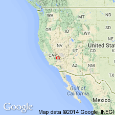
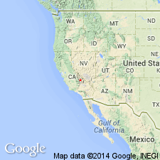
Type locality: in foothills between Union Wash and Reward Mine about 9 mi southeast of Independence, between Owenyo and Kearsarge, [in NE/4 Lone Pine 15-min quadrangle], southern Inyo Mountains, Inyo Co., eastern CA.
Source: US geologic names lexicon (USGS Bull. 1200, p. 2880).
- Usage in publication:
-
- Owens Valley formation*
- Modifications:
-
- Areal extent
- AAPG geologic province:
-
- Great Basin province
Hall, W.E., and MacKevett, E.M., Jr., 1958, Economic geology of the Darwin quadrangle, Inyo County, California: California Division of Mines Special Report, no. 51, 73 p., (incl. geologic maps)
Summary:
Pg. 7 (table 1), 10-11, pl. 2. Owens Valley formation. Described in Darwin quadrangle where it is about 3,200 feet thick and consists of three unnamed members: lower limestone, middle shale, and upper limestone-conglomerate member. Overlies Keeler Canyon formation; underlies Cretaceous quartz monzonite. Age is Permian.
Source: US geologic names lexicon (USGS Bull. 1200, p. 2880).

- Usage in publication:
-
- Owens Valley Group*
- Modifications:
-
- Revised
- AAPG geologic province:
-
- Great Basin province
Summary:
Owens Valley Group. The Owens Valley Formation of Merriam and Hall (1957) is raised to group rank. Consists of a Lower Permian, mostly deep water marine, lower part (Lone Pine Formation, new) and an Upper Permian, shallow-water marine and nonmarine, upper part (Conglomerate Mesa Formation, new) separated by an angular unconformity. The unconformity represents an episode of uplift and tilting during which at least 500 m of the Lone Pine Formation was locally removed by subaerial erosion.
Source: Publication.
For more information, please contact Nancy Stamm, Geologic Names Committee Secretary.
Asterisk (*) indicates published by U.S. Geological Survey authors.
"No current usage" (†) implies that a name has been abandoned or has fallen into disuse. Former usage and, if known, replacement name given in parentheses ( ).
Slash (/) indicates name conflicts with nomenclatural guidelines (CSN, 1933; ACSN, 1961, 1970; NACSN, 1983, 2005, 2021). May be explained within brackets ([ ]).

