

- Usage in publication:
-
- Otisville shale member
- Modifications:
-
- Named
- Dominant lithology:
-
- Shale
- Sandstone
- AAPG geologic province:
-
- Appalachian basin
Summary:
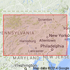
Named the Otisville shale member for Otisville, Orange Co., NY. Consists of interbedded greenish-gray arkosic sandstone and arenaceous shale. Some of the sandstone is conglomeratic. Unit is 484 feet thick. The Otisville overlies the massive conglomeratic beds of the Shawangunk formation. Other relationships concerning the Otisville are unknown. The Otisville is of Silurian age.
Source: GNU records (USGS DDS-6; Reston GNULEX).
- Usage in publication:
-
- Otisville Shale
- Modifications:
-
- Revised
- AAPG geologic province:
-
- Appalachian basin
Summary:
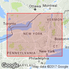
Otisville Shale is considered a separate formation (the Otisville Shale) but is included with the Bloomsburg Formation, Guymard Quartzite, and Shawangunk Formation as one map unit. The Otisville is considered of Late Silurian age.
Source: GNU records (USGS DDS-6; Reston GNULEX).
- Usage in publication:
-
- Otisville†
- Modifications:
-
- Abandoned
- AAPG geologic province:
-
- Appalachian basin
Summary:
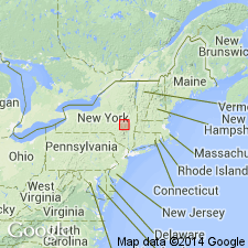
Shales previously regarded as Otisville Shale vary considerably in abundance and stratigraphic position within short distances, and therefore, cannot be defined as a mappable unit. For these reasons, the Otisville is abandoned. Since these shales occur as part of the Shawangunk Formation, the shales formerly called Otisville are informally designated as the middle unit of the Shawangunk Formation.
Source: GNU records (USGS DDS-6; Reston GNULEX).
For more information, please contact Nancy Stamm, Geologic Names Committee Secretary.
Asterisk (*) indicates published by U.S. Geological Survey authors.
"No current usage" (†) implies that a name has been abandoned or has fallen into disuse. Former usage and, if known, replacement name given in parentheses ( ).
Slash (/) indicates name conflicts with nomenclatural guidelines (CSN, 1933; ACSN, 1961, 1970; NACSN, 1983, 2005, 2021). May be explained within brackets ([ ]).