- Usage in publication:
-
- Oswayo beds
- Modifications:
-
- Named
- Dominant lithology:
-
- Shale
- AAPG geologic province:
-
- Appalachian basin
Summary:
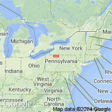
Named Oswayo beds for Oswayo Creek in Olean quadrangle, NY. Consists of olive-green to rusty-colored sandy shales, with here and there thin sandstone layers with limonitic seams or incrustations. Includes marine invertebrates. Thickness is 160 to 250 feet. Unit underlies Knapp beds and overlies (probably unconformably) Cattaraugus beds. Believed to be of Carbonic [Carboniferous] age.
Source: GNU records (USGS DDS-6; Reston GNULEX).

- Usage in publication:
-
- Oswayo Formation, Member
- Modifications:
-
- Revised
- AAPG geologic province:
-
- Appalachian basin
Summary:
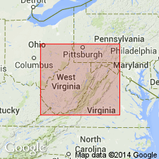
Oswayo sandstone extends farther westward into subsurface of north-central WV than Rockwell or Riddlesburg Members of the Price Formation and therefore is raised to formation rank where sandstone concentration exceeds 50 percent. Unit is interpreted as offshore marine sand bars and includes upper part of "Thirty-foot" sandstone, entire "Fifty-foot" sandstone, and westernmost portions of "Gantz" sandstone [drillers' terms]. In the western part of the study area, interfingers with Riceville Formation; underlies Cuyahoga Formation and overlies Venango Formation. In the east, where it is assigned to the Price Formation, underlies Riddlesburg Member and overlies newly named Rowlesburg Formation of Hampshire Group. The Oswayo is chiefly Late Devonian (may possibly also be Early Mississippian).
Source: GNU records (USGS DDS-6; Reston GNULEX).

- Usage in publication:
-
- Oswayo Formation
- Modifications:
-
- Overview
- AAPG geologic province:
-
- Appalachian basin
Summary:
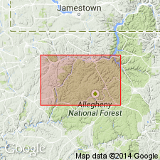
Oswayo in study area is characterized by dark-greenish-gray to medium-greenish-gray and olive shales and silty shales; medium-greenish-gray to greenish-gray and light-olive siltstones; and much subordinate very fine to fine-grained, light-greenish-gray to pale-olive sandstone. Marine fossils common. Formation ranges from 150 to 200 ft thick. Where the Catskill Formation is present, the lower contact of the Oswayo is well defined. Westward, the Oswayo grades laterally into the Riceville and generally overlies the Venango Formation or the Venango-Catskill transition zone. Here the contact may be arbitrarily drawn. Age is Late Devonian.
Source: GNU records (USGS DDS-6; Reston GNULEX).
For more information, please contact Nancy Stamm, Geologic Names Committee Secretary.
Asterisk (*) indicates published by U.S. Geological Survey authors.
"No current usage" (†) implies that a name has been abandoned or has fallen into disuse. Former usage and, if known, replacement name given in parentheses ( ).
Slash (/) indicates name conflicts with nomenclatural guidelines (CSN, 1933; ACSN, 1961, 1970; NACSN, 1983, 2005, 2021). May be explained within brackets ([ ]).

