- Usage in publication:
-
- Old Port Formation
- Modifications:
-
- Named
- Dominant lithology:
-
- Sandstone
- Chert
- Limestone
- Shale
- AAPG geologic province:
-
- Appalachian basin
Summary:
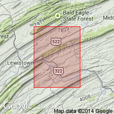
In Mifflintown quad and adjacent areas, Lower Devonian sequence, previously assigned to Helderberg and Oriskany Groups, now considered one rock unit here named Old Port Formation. Unit consists essentially of thin quartz sandstone (Ridgeley Member) at top; underlain by chert and cherty limestone with varying thickness of shale interbeds. Thickness 150 to 190 ft in study area. Contact with underlying Keyser Formation is gradational. Contact with overlying Onondaga Formation is sharp.
Source: GNU records (USGS DDS-6; Reston GNULEX).

- Usage in publication:
-
- Old Port Formation*
- Modifications:
-
- Revised
- AAPG geologic province:
-
- Appalachian basin
Summary:
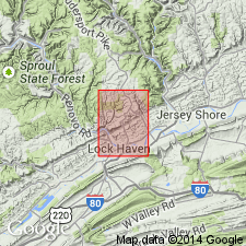
Old Port Formation is divided into (ascending) Shriver Chert and Ridgeley Sandstone Members (reduced in rank). Age is Early Devonian.
Source: GNU records (USGS DDS-6; Reston GNULEX).

- Usage in publication:
-
- Old Port Formation*
- Modifications:
-
- Overview
- AAPG geologic province:
-
- Appalachian basin
Summary:
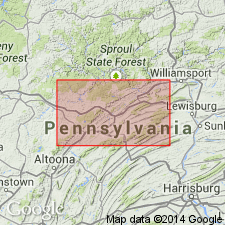
Lower Devonian Old Port Formation is divided in descending order into four members in central PA according to the usage of the Pennsylvania Geological Survey: Ridgeley, Shriver, Corriganville, and New Creek Members. Old Port underlies the Onondaga Formation and overlies the Keyser Formation.
Source: GNU records (USGS DDS-6; Reston GNULEX).

- Usage in publication:
-
- Old Port Formation
- Modifications:
-
- Overview
- AAPG geologic province:
-
- Appalachian basin
Summary:
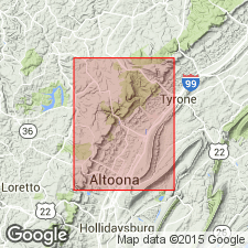
Name encompasses many earlier terms such as Shriver, Ridgeley, Coeymans, New Scotland, Mandata, Helderberg, Oriskany, and Corriganville, which generally could not be separately mapped throughout the area. Name Old Port has been used throughout the Valley and Ridge province from east-central to southern PA. In the mapped area, the Old Port is composed of a lower limestone (7 m) and the Mandata (27 m), Shriver (26 m), and Ridgeley (7 m) Members. Unit is predominantly a cherty limestone, calcareous shale, argillaceous limestone, and calcareous sandstone in ascending order. Best exposures of the three lower members are in the old quarries in Tyrone west of Sink Run and along U.S. Rte 22, 2 km southwest of Frankstown. The best exposure of the Ridgeley is also in Tyrone, just west of the east edge of the Tipton quad.
Source: GNU records (USGS DDS-6; Reston GNULEX).
For more information, please contact Nancy Stamm, Geologic Names Committee Secretary.
Asterisk (*) indicates published by U.S. Geological Survey authors.
"No current usage" (†) implies that a name has been abandoned or has fallen into disuse. Former usage and, if known, replacement name given in parentheses ( ).
Slash (/) indicates name conflicts with nomenclatural guidelines (CSN, 1933; ACSN, 1961, 1970; NACSN, 1983, 2005, 2021). May be explained within brackets ([ ]).

