The National Geologic Map Database is migrating to a new infrastructure. We apologize for any service disruptions during this process.
|
|---|


- Usage in publication:
-
- OK-Bar Conglomerate
- Modifications:
-
- First used
- Dominant lithology:
-
- Conglomerate
- AAPG geologic province:
-
- Pedregosa basin
Summary:
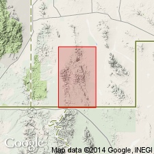
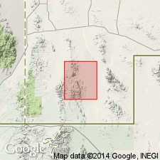
First use of name. On geologic map only. No type locality designated. Probably named for OK Bar Ranch, sec 24, T31S, R19W, Animas Mountains, Hidalgo Co, NM in Pedregosa basin. Occurs just north of, and extends south-southeast of OK Bar Ranch. Is poorly sorted, weakly consolidated boulder and cobble conglomerate and sandstone composed entirely of locally derived volcanic detritus and deposited upon deeply eroded surface. Interbedded thin basalt flows and beds of pumice containing nodular obsidian inclusions occur in southern part of area. This formation resembles the Gila Conglomerate to the north. Formation is difficult to distinguish from alluvium in some exposures. Is younger than Park Tuff (new). Is equivalent to Pine Canyon Formation and Double Adobe Latite (both new). Is of Tertiary age.
Source: GNU records (USGS DDS-6; Denver GNULEX).
- Usage in publication:
-
- OK-Bar Conglomerate
- Modifications:
-
- Named
- Dominant lithology:
-
- Breccia
- Conglomerate
- Sandstone
- AAPG geologic province:
-
- Pedregosa basin
Summary:
Named for OK Bar Camp, sec 24, T31S, R19W, Walnut Wells quad, Hidalgo Co, NM, in Pedregosa basin, where well exposed. In Walnut Wells quad is exposed only in southwestern part, but extends west, southwest, and south beyond quad limits. Mostly conglomerate, varies in thickness from zero to several hundred ft in southwest corner of quad. North of Center Peak has two facies: one deposited in steep-sided, narrow canyons, and one deposited in shallow basins cut into Gillespie and Park Tuffs (both new) in vicinity of OK Bar Camp. Basal part of formation is deposited largely in canyons and other depressions in underlying erosion surface as an unsorted breccia derived mainly from Park and Gillespie Tuffs. Contains small fragments in an arkosic sandstone matrix. Occurs as large wedge-shaped deposits. Upper part of unit deposited in basins and as alluvial fans. Consists of rounded boulders; from conglomerate zone upward, has gradually smaller fragments. In upper 45 ft matrix is finer, consisting of uniform, well-sorted, thin-bedded, white to pink sandstone and tuffaceous sandstone and thin gypsum layers. Unconformably overlies Park Tuff; overlain unconformably by basalt or andesite flows and Quaternary gravels; is equivalent to Pine Canyon Formation and Double Adobe Latite (both new). Is Tertiary in age.
Source: GNU records (USGS DDS-6; Denver GNULEX).
For more information, please contact Nancy Stamm, Geologic Names Committee Secretary.
Asterisk (*) indicates published by U.S. Geological Survey authors.
"No current usage" (†) implies that a name has been abandoned or has fallen into disuse. Former usage and, if known, replacement name given in parentheses ( ).
Slash (/) indicates name conflicts with nomenclatural guidelines (CSN, 1933; ACSN, 1961, 1970; NACSN, 1983, 2005, 2021). May be explained within brackets ([ ]).