The National Geologic Map Database is migrating to a new infrastructure. We apologize for any service disruptions during this process.
|
|---|


- Usage in publication:
-
- Nussbaum formation
- Modifications:
-
- Mapped 1:250k
- Dominant lithology:
-
- Sand
- Conglomerate
- AAPG geologic province:
-
- Las Animas arch
- Las Vegas-Raton basin
- Anadarko basin
Summary:
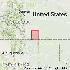
Is formation mapped 1:250,000 in eastern Las Animas Co (Las Vegas-Raton basin), western Baca Co (Anadarko basin), and southern Bent Co (Las Animas arch) in southeastern CO. The unconsolidated sands and conglomerates that overlie the Cretaceous beds unconformably in this region have been grouped by Gilbert as the Nussbaum formation. They are composed of clayey sands, coarse conglomerates, and an occasional limy stratum. The conglomerates are composed of rounded cobbles of igneous rock, while the sandstones are very yellow and crumble at the touch. Locally they are cemented by calcium carbonate, whence comes the name "mortar beds." About fifty feet of this formation caps the Dakota sandstone in the central east portion of the area. The age of this series is supposedly Pliocene.
Source: GNU records (USGS DDS-6; Denver GNULEX).
- Usage in publication:
-
- Nussbaum Alluvium*
- Modifications:
-
- Redescribed
- Age modified
- Dominant lithology:
-
- Sand
- Silt
- AAPG geologic province:
-
- Denver basin
Summary:
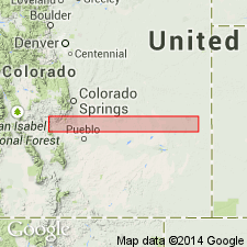
Redescribed from "Formation to "Alluvium" to emphasize fluviatile origin. Nussbaum was probably deposited by a southeastward flowing stream from an area of weathered Pikes Peak Granite near Turkey Creek on southeast flank of Rampart Range. At its type locality near Pueblo, CO, Denver basin, Nussbaum is a stream-laid deposit of loose, pebbly, coarse sand up to 100 ft thick; near its top is a layer of pebbly silt more than 10 ft thick; clasts consist of fragments of granite and hard sedimentary rocks; basal 2-4 ft of unit is commonly cemented by calcium carbonate. Unconformably overlies Pierre Shale; underlies Rocky Flats Alluvium. Stratigraphic table. Age changed from Pliocene? to Pleistocene? because Nussbaum is not equivalent to Ogallala Formation as assumed by earlier workers. Nussbaum and Ogallala differ in their lithology, thickness, and in their relative geomorphic and stratigraphic positions with Pliocene and Pleistocene deposits. Lithology of Nussbaum closely resembles Pleistocene and Recent alluvial deposits. Nussbaum thought to be earliest Pleistocene alluvium.
Source: GNU records (USGS DDS-6; Denver GNULEX).

- Usage in publication:
-
- Nussbaum? Alluvium*
- Modifications:
-
- Mapped 1:24k
- Dominant lithology:
-
- Alluvium
- AAPG geologic province:
-
- Denver basin
Summary:
Is Pleistocene alluvium mapped in Jefferson Co, CO (Denver basin). Is provisionally identified as Nussbaum. On Correlation of Map Units is shown to unconformably overlie Tertiary shonkinite and diabase units and to unconformably underlie Pleistocene rockslide unit. Small exposure occurs in northeast part of quad Map unit; pediment is about 450 ft above modern streams. Unit is described as yellowish-brown bouldery alluvium. Thickness probably about 10 ft. Strong soil of pre-Bull Lake age lies in the upper part of alluvium.
Source: GNU records (USGS DDS-6; Denver GNULEX).
- Usage in publication:
-
- Nussbaum Alluvium*
- Modifications:
-
- Age modified
- AAPG geologic province:
-
- Denver basin
Summary:
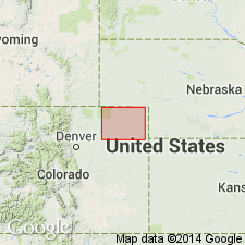
Age changed to early and middle Blancan (Pliocene) based on fossil bones of a camel, horse, and proboscidean and geomorphic position of unit. Geologic map; stratigraphic chart; measured section. Study area is in northeast CO, Denver basin.
Source: GNU records (USGS DDS-6; Denver GNULEX).
For more information, please contact Nancy Stamm, Geologic Names Committee Secretary.
Asterisk (*) indicates published by U.S. Geological Survey authors.
"No current usage" (†) implies that a name has been abandoned or has fallen into disuse. Former usage and, if known, replacement name given in parentheses ( ).
Slash (/) indicates name conflicts with nomenclatural guidelines (CSN, 1933; ACSN, 1961, 1970; NACSN, 1983, 2005, 2021). May be explained within brackets ([ ]).