

- Usage in publication:
-
- Neva limestone*
- Modifications:
-
- Named
- Dominant lithology:
-
- Limestone
- AAPG geologic province:
-
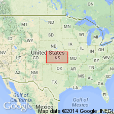
- Nemaha anticline
Summary:
Probably named for the town of Neva, Chase Co, KS on the Nemaha anticline. Was formerly called Drybone limestone by Swallow (1866). No type locality designated. Mapped only in the Cottonwood Falls quadrangle in this report. Consists of a limestone approximately 10 ft thick occurring in two beds separated by a thin, shaly member. [Neither lithology described.] Weathers with a rough surface. Overlies Elmdale formation (named) and underlies Eskridge shales (named). Of late Carboniferous age.
Source: GNU records (USGS DDS-6; Denver GNULEX).

- Usage in publication:
-
- Neva limestone*
- Neva limestone member
- Modifications:
-
- Overview
- AAPG geologic province:
-
- Nemaha anticline
- Salina basin
- Forest City basin
Summary:
Some authors have treated the Neva as basal formation of Permian. Later reports give thicknesses up to 28 feet, and state that the shale separating the two limestones is 15 to 20 feet thick. G.E. Condra and C.E. Busby (Nebraska Geol. Survey Paper No. 1, p. 30, 1933) stated that different members or combinations of members of their Grenola formation (defined in report cited) have been correlated as the Neva at places in Nebraska and Kansas. They restricted Neva to top bed (12.5 feet) of their Grenola formation, q.v. Condra, 1935 (Nebraska Geol. Survey Paper No. 8), placed Permian-Pennsylvanian boundary at top of his Brownville limestone formation, which threw Neva limestone and several underlying formations into Permian.
"Co-type locality": 4 mi northeast of Clements, Chase Co., KS (Condra and Busby, 1933).
Source: US geologic names lexicon (USGS Bull. 896, p. 1478-1479); supplemental information from GNU records (USGS DDS-6; Denver GNULEX).
For more information, please contact Nancy Stamm, Geologic Names Committee Secretary.
Asterisk (*) indicates published by U.S. Geological Survey authors.
"No current usage" (†) implies that a name has been abandoned or has fallen into disuse. Former usage and, if known, replacement name given in parentheses ( ).
Slash (/) indicates name conflicts with nomenclatural guidelines (CSN, 1933; ACSN, 1961, 1970; NACSN, 1983, 2005, 2021). May be explained within brackets ([ ]).