- Usage in publication:
-
- Neruokpuk schist*
- Modifications:
-
- Named
- Dominant lithology:
-
- Schist
- AAPG geologic province:
-
- Alaska Northern region
Summary:
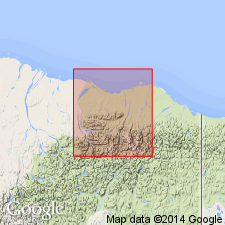
Neruokpuk is Eskimo name for Lake Peters and Lake Schrader. Unit is typically developed on three sides of Lake Peters and also near forks of Canning River, northeastern AK. Is chiefly quartzite schist. Both upper and lower contacts believed to be fault contacts. Is oldest exposed formation in Canning River region. Metamorphism is so much greater than other units that it can be called pre-Carboniferous.
Source: GNU records (USGS DDS-6; Menlo GNULEX).
- Usage in publication:
-
- Neruokpuk formation*
- Modifications:
-
- Redescribed
- Dominant lithology:
-
- Phyllite
- Quartzite
- Argillite
- Schist
- Chert
- AAPG geologic province:
-
- Alaska Northern region
Summary:
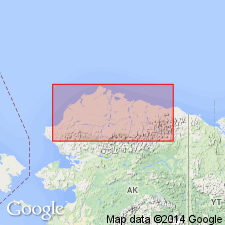
Neruokpuk schist redescribed as Neruokpuk formation on map legend. Regionally metamorphosed sedimentary rocks of unit include micaceous quartzite, phyllite, argillite, quartzite and chlorite schist, chert, and iron-bearing rocks. Shown on map as occurring in Franklin Mountains. Age given as Precambrian(?).
Source: GNU records (USGS DDS-6; Menlo GNULEX).
- Usage in publication:
-
- Neruokpuk Formation*
- Modifications:
-
- Overview
- AAPG geologic province:
-
- Alaska Northern region
Summary:
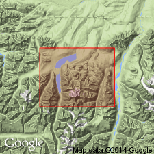
Detailed lithology, measured sections, thickness, source, age, correlation, map included in report. Calcareous sandstone member shown separately on geologic map of the Lake Peters area. Age given as Devonian or older (following Brosge and others, 1962).
Source: GNU records (USGS DDS-6; Menlo GNULEX).
- Usage in publication:
-
- Neruokpuk Formation*
- Modifications:
-
- Age modified
- Biostratigraphic dating
- AAPG geologic province:
-
- Alaska Northern region
Summary:
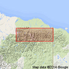
Neruokpuk Formation in Franklin, Romanzof, and British Mountains divided into informal sequences A through F as shown on geologic sketch map and described in detail. Age is considered Precambrian, Cambrian, and post-Cambrian (pre-Mississippian) on basis of trilobites, brachiopods, and one graptolite (Late Ordovician age).
Source: GNU records (USGS DDS-6; Menlo GNULEX).
- Usage in publication:
-
- Neruokpuk Formation*
- Modifications:
-
- Reference
- Overview
- AAPG geologic province:
-
- Alaska Northern region
Summary:
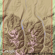
Measured reference section designated on west side of Jago River between Hubley Creek and creek draining Contact Glacier, western Romanzof Mountains. Measured section also described on east valley wall of Old Man Creek. Detailed lithology, geologic map of western Romanzof Mountains, correlation chart included in report. Age given as Precambrian, Cambrian, and pre-Mississippian.
Source: GNU records (USGS DDS-6; Menlo GNULEX).
- Usage in publication:
-
- Neruokpuk Quartzite*
- Modifications:
-
- Redescribed
- Revised
- AAPG geologic province:
-
- Alaska Northern region
Summary:
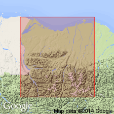
Unit stratigraphically restricted to usage of Leffingwell (1919). Everywhere renamed Neruokpuk Quartzite to reflect restricted usage.
Source: GNU records (USGS DDS-6; Menlo GNULEX).
- Usage in publication:
-
- Neruokpuk Schist of Leffingwell (1919)*
- Modifications:
-
- Redescribed
- Revised
- Age modified
- AAPG geologic province:
-
- Alaska Northern region
Summary:
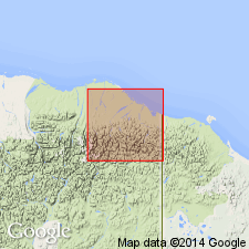
Stratigraphically restricted to usage of Neruokpuk Schist of Leffingwell (1919) of Precambrian age only. Rocks of other ages included in earlier reports now designated as part of informal lithic units. Neruokpuk Schist described separately in southern and northern exposures [of Brooks Range]. Has estimated thickness of more than 1700 m.
Source: GNU records (USGS DDS-6; Menlo GNULEX).
- Usage in publication:
-
- Neruokpuk Quartzite*
- Modifications:
-
- Age modified
- AAPG geologic province:
-
- Alaska Northern region
Summary:
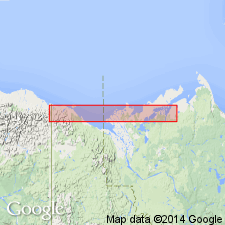
Age of the Neruokpuk Quartzite is revised from Precambrian to Proterozoic.
Source: GNU records (USGS DDS-6; Menlo GNULEX).
For more information, please contact Nancy Stamm, Geologic Names Committee Secretary.
Asterisk (*) indicates published by U.S. Geological Survey authors.
"No current usage" (†) implies that a name has been abandoned or has fallen into disuse. Former usage and, if known, replacement name given in parentheses ( ).
Slash (/) indicates name conflicts with nomenclatural guidelines (CSN, 1933; ACSN, 1961, 1970; NACSN, 1983, 2005, 2021). May be explained within brackets ([ ]).

