

- Usage in publication:
-
- Naomi Peak limestone member
- Modifications:
-
- Original reference
- Dominant lithology:
-
- Limestone
- AAPG geologic province:
-
- Wasatch uplift
Summary:
Pg. 671, fig. 2; Dissert. Abs., v. 15, no. 4, p. 558, 1955 (incidental mention). Naomi Peak limestone member of Langston formation. Light- to medium-neutral-gray finely crystalline arenaceous limestone with numerous lenses of coarsely crystalline very fossiliferous pure limestone. In many places, few thin beds of gray medium-grained brown-weathering calcareous or dolomitic sandstone occur near base of member. Thickness 32 feet in High Creek section. Thickens to 40 feet to the north and east. Not recognized in Left Fork of Blacksmith Fork, or in central or western Utah. Underlies Spence shale member and conformably overlies Pioche(?) shale. [Age is Middle Cambrian.]
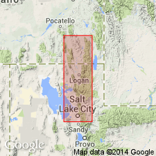
Excellent section on north side of North Fork of High Creek, approx. 6.5 mi northeast of Richmond, UT. High Creek section considered "standard" for Cambrian of northeastern UT and southeastern ID. Member extends from Left Fork of Blacksmith Fork River northward beyond Spence Gulch and Malad, ID, and from east side of Bear River Range to Wellsville Mountain.
Source: US geologic names lexicon (USGS Bull. 1200, p. 2680-2681).
- Usage in publication:
-
- Naomi Peak Tongue*
- Modifications:
-
- Revised
- AAPG geologic province:
-
- Snake River basin
Summary:
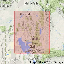
Originally considered to be a member of Langston Formation (Maxey, 1958). Is reassigned and adopted as upper and eastern tongue of Twin Knobs Formation. Lies stratigraphically between Brigham Quartzite below and Spencer Tongue of Lead Bell Shale above in Snake River basin, Bannock Co., ID. Is assigned a Middle Cambrian age.
Source: GNU records (USGS DDS-6; Denver GNULEX).
For more information, please contact Nancy Stamm, Geologic Names Committee Secretary.
Asterisk (*) indicates published by U.S. Geological Survey authors.
"No current usage" (†) implies that a name has been abandoned or has fallen into disuse. Former usage and, if known, replacement name given in parentheses ( ).
Slash (/) indicates name conflicts with nomenclatural guidelines (CSN, 1933; ACSN, 1961, 1970; NACSN, 1983, 2005, 2021). May be explained within brackets ([ ]).