The National Geologic Map Database is migrating to a new infrastructure. We apologize for any service disruptions during this process.
|
|---|


- Usage in publication:
-
- Nancy Member*
- Modifications:
-
- Named
- Dominant lithology:
-
- Shale
- Limestone
- AAPG geologic province:
-
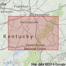
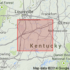
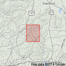
- Cincinnati arch
Summary:
Named Nancy Member of Borden Formation. "Chiefly nonresistant gray clayey to silty shale. Locally it includes much nonresistant shaly siltstone, minor resistant thin-bedded siltstone, and thin discontinuous lenses of crinoidal limestone. At many localities, iron-rich siliceous and calcareous concretions, a few inches to a few feet in diameter occur sporadically through the member." Contains a ledge-forming gray siltstone body, as much as 80 ft thick, called the Gum Sulphur Bed. Ranges in thickness from about 150 to 300 ft. Underlain by New Albany Shale; overlain by Cowbell, Halls Gap, Renfro or Muldraugh Member of Borden Formation.
Source: GNU records (USGS DDS-6; Reston GNULEX).
- Usage in publication:
-
- Nancy Member*
- Modifications:
-
- Areal extent
- AAPG geologic province:
-
- Cincinnati arch
Summary:
Use of Nancy Member of Borden Formation extended from south-central Kentucky into north-central Kentucky. Generally includes strata, in north-central Kentucky, designated Brodhead Formation by Stockdale (1939) and the upper part of the shale member of the Borden Formation as used on the U. S. Geological Survey Geologic Quadrangle Maps published prior to publication of this paper. The Nancy is chiefly greenish gray to olive gray and composed of silty shale and shaly siltstone, minor resistant siltstone, and thin discontinuous lenses of crinoidal limestone. Overlies the New Providence Shale Member or Kenwood Siltstone Member and underlies the Holtsclaw Member or Muldraugh Member of the Borden Formation.
Source: GNU records (USGS DDS-6; Reston GNULEX).
- Usage in publication:
-
- Nancy Member*
- Modifications:
-
- Revised
- AAPG geologic province:
-
- Cincinnati arch
Summary:
New Providence Shale, which was restricted from usage in central Kentucky by Weir and others (1966), reinstated as basal member of Borden Formation. Nancy Member is restricted to the more silty non-plastic shale within the Nancy Member as defined by Weir and others (1966).
Source: GNU records (USGS DDS-6; Reston GNULEX).
For more information, please contact Nancy Stamm, Geologic Names Committee Secretary.
Asterisk (*) indicates published by U.S. Geological Survey authors.
"No current usage" (†) implies that a name has been abandoned or has fallen into disuse. Former usage and, if known, replacement name given in parentheses ( ).
Slash (/) indicates name conflicts with nomenclatural guidelines (CSN, 1933; ACSN, 1961, 1970; NACSN, 1983, 2005, 2021). May be explained within brackets ([ ]).