- Usage in publication:
-
- Muscatatuck Group
- Modifications:
-
- Named
- Dominant lithology:
-
- Limestone
- Dolomite
- AAPG geologic province:
-
- Cincinnati arch
Summary:
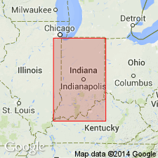
Muscatatuck Group named in this report to encompass the North Vernon Limestone, the Jeffersonville Limestone, and the Geneva Dolomite in southern IN and the Detroit River Formation, and the Traverse Formation in northern IN. Type section and three reference sections designated. Group reaches 20 m in thickness. Overlies Salina and Wabash Formation in the north and Clear Creek Chert and Lower Devonian rocks in the south. Underlies New Albany Shale in the south and west and Antrim Shale in the north. Age is Early and Middle Devonian.
Source: GNU records (USGS DDS-6; Reston GNULEX).

- Usage in publication:
-
- Muscatatuck Group
- Modifications:
-
- Revised
- AAPG geologic province:
-
- Illinois basin
Summary:
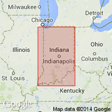
In western IN, Muscatatuck Group includes Jeffersonville Limestone (newly subdivided) and North Vernon Limestone. The Jeffersonville now includes ascending Dutch Creek Sandstone Member, Geneva Dolomite Member (rank reduced), and the Vernon Fork Member.
Source: GNU records (USGS DDS-6; Reston GNULEX).

- Usage in publication:
-
- Muscatatuck Group
- Modifications:
-
- Overview
- AAPG geologic province:
-
- Cincinnati arch
- Illinois basin
Summary:
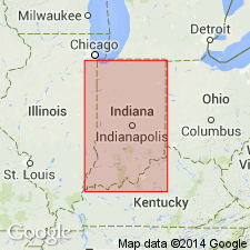
The most common lithologies of the Muscatatuck Group are drab-colored fine-grained sandy dolomite or dolomitic quartz sandstone, which is generally found lowest in the group; brown granular vuggy dolomite, light colored to dark limestones that are shaly to pure and granular and conspicuously fossiliferous; variously colored dense to fine-grained, commonly laminated dolomites and dolomitic limestones; and white to pale-blue cryptocrystalline to coarsely granular fibrous anhydrite and gypsum. Conformably overlies the Lower Devonian New Harmony Group in southwestern IN. Elsewhere overlaps Silurian rocks of the Salina Group. Conformably or locally unconformably underlies the New Albany Shale in southern IN and the Antrim Shale in northern IN. The two principal areas of exposure in Indiana flank the Cincinnati and Kankakee arches. Occurs in the subsurface of the Illinois and Michigan basins. Thickness ranges from an erosional zero to more than 250 ft. Unit is mostly Middle Devonian in age, but the lowest part is very likely Early Devonian. Close correlatives include the Grand Tower Limestone and Lingle Formation of IL, the Detroit River and Traverse Groups of the Michigan basin, most of the Detroit River Group of northwestern OH, the Columbus and Delaware Limestones of central OH, and the Jeffersonville and Sellersburg Limestones of western KY. Age is based on index fossils and the relationship of the Tioga Bentonite Bed, which occurs in the Detroit River Formation and the Jeffersonville Limestone.
Source: GNU records (USGS DDS-6; Reston GNULEX).
For more information, please contact Nancy Stamm, Geologic Names Committee Secretary.
Asterisk (*) indicates published by U.S. Geological Survey authors.
"No current usage" (†) implies that a name has been abandoned or has fallen into disuse. Former usage and, if known, replacement name given in parentheses ( ).
Slash (/) indicates name conflicts with nomenclatural guidelines (CSN, 1933; ACSN, 1961, 1970; NACSN, 1983, 2005, 2021). May be explained within brackets ([ ]).

