- Usage in publication:
-
- Mount Vernon member
- Modifications:
-
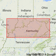
- Areal extent
- Overview
- Dominant lithology:
-
- Limestone
- Dolostone
- AAPG geologic province:
-
- Appalachian basin
Summary:
Slade Formation in this study is divided into only two members: the lower informal Mount Vernon member first described by Dever and others (1979) and the overlying Poppin Rock Member. The Mount Vernon is composed of dominantly gray limestone and dolostone with a few thin shales. Identified in drillers' logs as "Big Lime." Strata are divided into as many as eight formal members in east-central and northeastern KY. The Mount Vernon thins progressively to the northwest and is absent, as is the entire Slade, in the extreme northwestern part of the Catlettsburg and Grundy sections. Thickens toward the southeast to 370 m. According to the cross sections, the Slade Formation and its two members extend into TN, VA, and WV. Overlies the Salem-Warsaw Formation. Age is Late Mississippian. Report includes correlation charts, cross sections, and measured sections.
Source: GNU records (USGS DDS-6; Reston GNULEX).
For more information, please contact Nancy Stamm, Geologic Names Committee Secretary.
Asterisk (*) indicates published by U.S. Geological Survey authors.
"No current usage" (†) implies that a name has been abandoned or has fallen into disuse. Former usage and, if known, replacement name given in parentheses ( ).
Slash (/) indicates name conflicts with nomenclatural guidelines (CSN, 1933; ACSN, 1961, 1970; NACSN, 1983, 2005, 2021). May be explained within brackets ([ ]).

