- Usage in publication:
-
- Mount Nelson formation
- Modifications:
-
- Named
- Dominant lithology:
-
- Quartzite
- Limestone
- Slate
Summary:
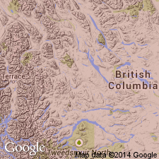
Named as upper formation of Purcell series [= Belt Series of US (Wilmarth, 1938, US geologic names lexicon, USGS Bull. 896, p. 1746)]. For Mount Nelson, Windermere area, B.C., CN. No type locality designated. Geologic map. Two typical sections described. Is the youngest unit of the Purcell resting conformably on the Dutch Creek formation (first used) and unconformably underlying the Toby conglomerate (new), Windermere series (new). The best exposed sections of Mount Nelson are on ridges between Law, Slade, and Clearwater Creeks, and on ridge at head of Brewer and Laundry Creeks. The Mount Nelson is about 3,400 ft thick and can be divided into: 1) a basal quartzite which is massive, white, granular; the grains are cemented with silica, and to a small extent, limonite and calcite; the beds average about one ft thick; 2) gray, white, purple, and red magnesian limestones, chiefly fine grained and crystalline in beds 2 or 3 in to 2 ft thick; gray, black, green, and purple slates; 3) upper quartzite, similar to basal quartzite. Shallow water depositional features (sun cracks and salt crystals) found in the slates. Is of late Precambrian age.
Source: GNU records (USGS DDS-6; Denver GNULEX).

- Usage in publication:
-
- Mount Nelson Formation*
- Modifications:
-
- Overview
Summary:
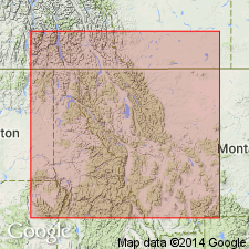
Designated Mt. Nelson Formation in Dewar Creek and Nelson areas, B.C. Stratigraphic position and correlation with other Precambrian formations of the Belt Supergroup of the U.S., Northern Rocky Mountain region, and of the Purcell Supergroup of Alberta and British Columbia, Canada shown on figures 4 and 6.
Source: GNU records (USGS DDS-6; Denver GNULEX).
For more information, please contact Nancy Stamm, Geologic Names Committee Secretary.
Asterisk (*) indicates published by U.S. Geological Survey authors.
"No current usage" (†) implies that a name has been abandoned or has fallen into disuse. Former usage and, if known, replacement name given in parentheses ( ).
Slash (/) indicates name conflicts with nomenclatural guidelines (CSN, 1933; ACSN, 1961, 1970; NACSN, 1983, 2005, 2021). May be explained within brackets ([ ]).

