- Usage in publication:
-
- Moose River group*
- Modifications:
-
- Revised
- AAPG geologic province:
-
- New England province
Summary:
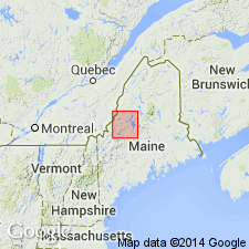
Pg. 160-161, pl. 34. Moose River sandstone of Williams, 1900 (USGS Bull. 165, p. 88) is here raised in rank to Moose River group. Comprises Tomhegan formation (new) of Early Onondaga (Devonian) age above and Tarratine formation (new) of Oriskany (Devonian) age below. Williams' term included the dark sandstone units of Early Devonian age in Somerset County and excluded the cyclically layered slate and sandstone of Seboomook formation, which are lithologically distinct. Moose River Group as here used also excludes Lower Devonian sandstone units elsewhere in northern Maine which are the same age, such as those near Matagamon Dam (Traveller Mountain quadrangle, Piscataquis County), Telos and Webster Lakes (Telos Lake quadrangle, Piscataquis County), and Harrington Lake (Harrington Lake quadrangle, Piscataquis County). Type area was loosely defined by Williams, and exposures along Moose River are not adequate for use as type sections; type sections of formations (Tomhegan and Tarratine) into which Williams' unit has been subdivided are located away from the Moose River. The Tomhegan and Tarratine formations are both chiefly sandstone and can be recognized as individual formations only after detailed study.
Source: Publication; GNU records (USGS DDS-6; Reston GNULEX).

- Usage in publication:
-
- Moose River Group*
- Modifications:
-
- Revised
- Age modified
- Biostratigraphic dating
- AAPG geologic province:
-
- New England province
Summary:
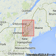
In Boundary Mountains-Bronson Hill anticlinorium, Moose River Group includes lower Tarratine Formation and its McKenney Ponds Limestone Member (dated by fossils as late Siegenian) and Misery Quartzite Member; and upper Tomhegan Formation (dated by fossils as Emsian) and its Kineo Volcanic Member and an unnamed intrusive garnet rhyolite. Kineo includes rocks previously mapped as Heald Mountain Rhyolite and Kineo by Boucot and Heath (1969). Age here modified to Early Devonian (Siegenian and Emsian).
Source: GNU records (USGS DDS-6; Reston GNULEX).
For more information, please contact Nancy Stamm, Geologic Names Committee Secretary.
Asterisk (*) indicates published by U.S. Geological Survey authors.
"No current usage" (†) implies that a name has been abandoned or has fallen into disuse. Former usage and, if known, replacement name given in parentheses ( ).
Slash (/) indicates name conflicts with nomenclatural guidelines (CSN, 1933; ACSN, 1961, 1970; NACSN, 1983, 2005, 2021). May be explained within brackets ([ ]).

