

- Usage in publication:
-
- Mineral Fork tillite*
- Modifications:
-
- Named
- Dominant lithology:
-
- Tillite
- Shale
- Quartzite
- Conglomerate
- AAPG geologic province:
-
- Southern Rocky Mountain region
Summary:
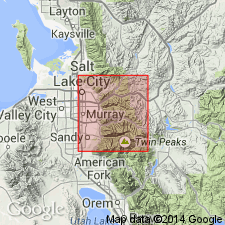
Named probably for exposures in upper basin of Mineral Fork, Salt Lake Co, UT in Southern Rocky Mountain region. No type locality designated. Covers entire basin of Mineral Fork and extends over ridge to west onto east slope of Mill B South Fork where unit is at least 3,000 ft thick. Is 1,000 ft thick at Superior Peak. Dominant rock type is black tillite consisting of boulders, cobbles and pebbles of quartzite, limestone, or granitic rocks in a black sandy matrix. Also includes dark-gray to black varved slate or shale, dark gray quartzite, and occasional channel fillings of boulder conglomerate. Has been thermally altered by Little Cottonwood stock. Glacial origin suggested by striated cobbles and boulders, and by general similarity to modern tills and pre-Cambrian tillites elsewhere in world. The basins have smooth polished surface on underlying rocks. Two basins exposed: 1) Big Cottonwood Canyon; 2) Mineral Fork. Considered of very late pre-Cambrian age. Geologic map.
Source: GNU records (USGS DDS-6; Denver GNULEX).
- Usage in publication:
-
- Mineral Fork Tillite*
- Modifications:
-
- Age modified
- AAPG geologic province:
-
- Southern Rocky Mountain region
Summary:
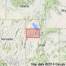
Age shown as Precambrian Z or Y. Former age designation was late Precambrian. Exposed near Antelope Island in the Southern Rocky Mountain region. Is younger than the unnamed Early Proterozoic granite and gneiss map unit; the contact is unconformable. Is older than the Precambrian Z Mutual Formation; the contact is unconformable.
Source: GNU records (USGS DDS-6; Denver GNULEX).
- Usage in publication:
-
- Mineral Fork Formation
- Modifications:
-
- Overview
- AAPG geologic province:
-
- Southern Rocky Mountain region
Summary:
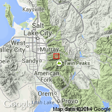
Occupies two troughs in the central Wasatch Mountains, UT in Southern Rocky Mountain region. One is a linear 400-m-deep depression exposed in two sections that are separated by a thrust fault north of Big Cottonwood Canyon. The second is 850 m deep and extends south from Big Cottonwood Canyon to Little Cottonwood Canyon. Abundant microfossils of planktonic alga of BAVLINELLA FAVEOLATA (Shepeleva) Vidal present in the second trough suggest a stressed environment, in this example stress caused by a melting glacier. This fossil occurs in well-dated Vendian rocks (650-750 m.y.). Consists of as much as 790 m of rusty-weathering black or dark-gray quartzose diamictite, graywacke, siltstone, shale, and sandstone considered to have been deposited close to the ice margin in a shallow restricted marine embayment during a glacial retreat beneath and in front of glaciers and beneath the sea. Diamictite constitutes 70-75 percent of total rock type. Rhythmically interbedded sandstone and laminated siltstone constitute 15-25 percent. Geologic map; cross section. Glacial origin suggested by poor sorting, chert pebbles and cobbles with scratches and grooves in the diamictite, and rare occurrence in laminated beds of isolated cobbles and pebbles thought to have been dropped from floating ice. Is no older than 1,250 m.y. [Middle Proterozoic] and no younger than 540 m.y. [Late Proterozoic].
Source: GNU records (USGS DDS-6; Denver GNULEX).
For more information, please contact Nancy Stamm, Geologic Names Committee Secretary.
Asterisk (*) indicates published by U.S. Geological Survey authors.
"No current usage" (†) implies that a name has been abandoned or has fallen into disuse. Former usage and, if known, replacement name given in parentheses ( ).
Slash (/) indicates name conflicts with nomenclatural guidelines (CSN, 1933; ACSN, 1961, 1970; NACSN, 1983, 2005, 2021). May be explained within brackets ([ ]).