

- Usage in publication:
-
- Millard limestone
- Modifications:
-
- Named
- Biostratigraphic dating
- Dominant lithology:
-
- Limestone
- AAPG geologic province:
-
- Great Basin province
Summary:
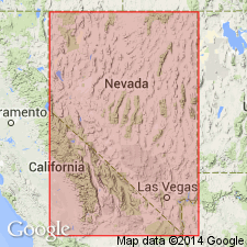
Millard limestone is named in the House Range, and is considered to be equivalent to the combined Peasley and Lyndon limestones of the Wah Wah Range. The Chisholm shale, which lies between the Lyndon and Peasley in the Wah Wah Range thins to the east and is not present in the House Range; the combined limestone unit is called the Millard. Type section is in Marjum Canyon [Notch Peak 15' quad], Millard Co, UT. Consists of dark gray, fine- to medium-grained, limestone that makes up the basal 281 ft of the "Howell limestone" as emended by Deiss (1938). Overlies [conformably?] the Busby quartzite; underlies [conformably?] the Burrows limestone. Age is Middle Cambrian on the basis of fossils [trilobites].
Source: GNU records (USGS DDS-6; Menlo GNULEX).
- Usage in publication:
-
- Millard Member*
- Modifications:
-
- Adopted
- Revised
- AAPG geologic province:
-
- Great Basin province
Summary:
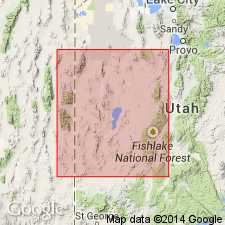
Millard limestone (Wheeler, 1948) is reduced in rank and adopted at the Millard Member, the lower unit of the Howell Limestone (revised). Consists of medium dark-gray, medium-grained limestone; 97 percent carbonate. Forms lower, dark portion of the Howell Limestone cliff. Girvanellid algal spheres 1/4 to 3/8-inch diameter characterize the unit. Thickness is 310 ft. Conformably overlies the Tatow Formation (rank revised); conformably underlies unnamed member of the Howell Limestone. Age is Middle Cambrian on the basis of stratigraphic position.
Source: GNU records (USGS DDS-6; Menlo GNULEX).
- Usage in publication:
-
- Millard Member
- Modifications:
-
- Biostratigraphic dating
- Overview
- AAPG geologic province:
-
- Great Basin province
Summary:
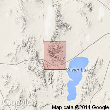
Millard Member composes the lower, dark-gray weathering part of the cliff-forming Howell Limestone. Is distinguishable as a map unit in the House and Cricket Ranges, and Wah Wah Mountains. Average insoluble residue is 4.5 percent. Oncolites of GIRVANELLA(?) are abundant. Thickness is 310 ft in House Range. Conformably overlies the Tatow Member of the Pioche Formation; conformably underlies the unnamed upper member of the Howell Limestone. Age is Middle Cambrian on the basis of fossils [trilobites].
Source: GNU records (USGS DDS-6; Menlo GNULEX).
For more information, please contact Nancy Stamm, Geologic Names Committee Secretary.
Asterisk (*) indicates published by U.S. Geological Survey authors.
"No current usage" (†) implies that a name has been abandoned or has fallen into disuse. Former usage and, if known, replacement name given in parentheses ( ).
Slash (/) indicates name conflicts with nomenclatural guidelines (CSN, 1933; ACSN, 1961, 1970; NACSN, 1983, 2005, 2021). May be explained within brackets ([ ]).