

- Usage in publication:
-
- Midnight Peak formation
- Modifications:
-
- Original reference
- Dominant lithology:
-
- Tuff
- Breccia
- Siltstone
- Sandstone
- Conglomerate
- AAPG geologic province:
-
- Northern Cascade Range-Okanagan province
Summary:
Pg. 165, 173-174. Midnight Peak formation. Thick series of andesitic tuffs, breccias, and flows. Approximately 500 feet of red siltstone, tuffaceous sandstone, and pebble conglomerate form lowest member which is exposed in Bridge Creek. Breccias and flows above basal tuffs and sandstones are dark gray to green. Red tuffaceous sandstones and shales at base of formation named Ventura by Russell (1900). Unconformably underlies Pipestone Canyon formation (new); conformably and gradationally overlies Winthrop sandstone. Thickness over 8,000 feet. Age is Late Cretaceous, based on stratigraphic position.
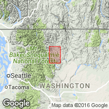
Probably named from Midnight Peak [name changed to Midnight Mountain in 1960's], the highest point on a northwest-trending ridge lying between Twisp River and Canyon Creek, [15 mi west-northwest of Twisp, 2.5 mi northeast of Twisp River, Methow 1:125,000-scale quadrangle, Okanogan Co., Okanogan National Forest, central northern WA].
Source: US geologic names lexicon (USGS Bull. 1200, p. 2493); GNU records (USGS DDS-6; Menlo GNULEX).
- Usage in publication:
-
- Midnight Peak Formation
- Modifications:
-
- Overview
- Revised
- AAPG geologic province:
-
- Okanogan province
- Cascades province
Summary:
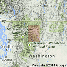
Type section designated as south limb of syncline between Twisp River and its tributary Canyon Creek in T34N R20E, Midnight Peak 7.5' quad, Okanogan Co, WA. Lower part is named Ventura Member (described in measured section as 2034 ft thick). Thickness of unnamed upper volcanic member given as 10,400 ft. Age remains Late Cretaceous.
Source: GNU records (USGS DDS-6; Menlo GNULEX).
For more information, please contact Nancy Stamm, Geologic Names Committee Secretary.
Asterisk (*) indicates published by U.S. Geological Survey authors.
"No current usage" (†) implies that a name has been abandoned or has fallen into disuse. Former usage and, if known, replacement name given in parentheses ( ).
Slash (/) indicates name conflicts with nomenclatural guidelines (CSN, 1933; ACSN, 1961, 1970; NACSN, 1983, 2005, 2021). May be explained within brackets ([ ]).