The National Geologic Map Database is migrating to a new infrastructure. We apologize for any service disruptions during this process.
|
|---|


- Usage in publication:
-
- McNeeley Drift*
- Modifications:
-
- Named
- Dominant lithology:
-
- Till
- AAPG geologic province:
-
- Cascades province
Summary:
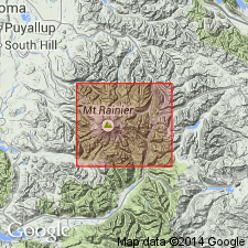
Named for McNeeley Peak, north of Yakima Park, Cascade Range, WA. Typical moraine lies within north-facing cirque 0.5 mi south of McNeeley Peak, Mount Rainier National Park, Pierce Co, WA. Found in cirques at altitudes between 5500 and 6700 ft. Areas in front of McNeeley Drift consists of glacier-scoured bedrock or featureless Evans Creek Drift. Associated with rock glacier deposits of about same age. McNeeley Drift probably formed during latest part of most recent major glaciation, about 11,000 yr B.P. Map legend gives age as Sumas(?) Stage of Fraser Glaciation.
Source: GNU records (USGS DDS-6; Menlo GNULEX).
For more information, please contact Nancy Stamm, Geologic Names Committee Secretary.
Asterisk (*) indicates published by U.S. Geological Survey authors.
"No current usage" (†) implies that a name has been abandoned or has fallen into disuse. Former usage and, if known, replacement name given in parentheses ( ).
Slash (/) indicates name conflicts with nomenclatural guidelines (CSN, 1933; ACSN, 1961, 1970; NACSN, 1983, 2005, 2021). May be explained within brackets ([ ]).