


- Usage in publication:
-
- Maurice member
- Modifications:
-
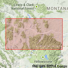
- Areal extent
- AAPG geologic province:
-
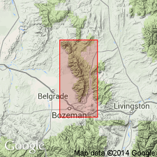
- Wind River basin
Summary:
Pg. 1094-1096, 1101 (fig. 3), 1104-1105. Maurice member of Boysen formation. [Maurice formation of Dorf and Lochman, 1938 (abs.) and 1940; see 1940 entry] reduced to member status in Boysen formation (new) in Wind River area, Wyoming. Thickness 182 feet in type section of Boysen. Underlies Snowy Range member; overlies Gros Ventre member of Depass formation. [Age is Late Cambrian (Dresbach) age based on trilobites.]
Source: US geologic names lexicon (USGS Bull. 1200, p. 2425-2426).
- Usage in publication:
-
- Maurice formation
- Modifications:
-
- Principal reference
- Dominant lithology:
-
- Conglomerate
- Shale
- Limestone
- AAPG geologic province:
-
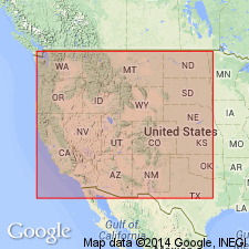
- Bighorn basin
Summary:
Pg. 547-550; 1938 [abs.], GSA Proc. 1937, p. 276. Maurice formation. Consists of lower member of intercalated gray-green fissile shales and glauconitic limestone edgewise conglomerates with local development of lenses of dense gray algal(?) limestone (average 60 feet thick); upper member of massive-bedded oolitic limestone, mottled buff, gray, and pink, with a few fiat pebble conglomerates and sandy limestones (average 100 feet thick). Thickness at type locality 150 feet. Underlies Snowy Range formation (new); overlies Park shale. Dresbach equivalent [Upper Cambrian]. Term Gallatin formation not applicable in this area [southern Montana].
Type locality: on south side of valley of North Fork of Grove Creek, 5 mi south of Red Lodge, Carbon Co., southern MT. Named from Mount Maurice, prominent elevation on Beartooth front, [in center E/2 sec. 28, T. 8 S., R. 20 E., Mount Maurice 7.5-min quadrangle, Carbon Co., southern MT]
Source: US geologic names lexicon (USGS Bull. 1200, p. 2425-2426).
- Usage in publication:
-
- Maurice formation
- Modifications:
-
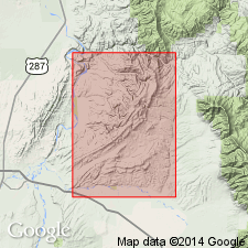
- Areal extent
- AAPG geologic province:
-
- Montana folded belt
Summary:
Author re-examines key sections in Horseshoe Hills between Logan and Dry Creek, Gallatin County, Montana, Montana folded belt province. Lithology of Upper Cambrian rocks in this area is more like that in southern Montana than in central Montana, hence southern Montana nomenclature is used. Thus, Maurice and Snowy Range formations are extended into Horseshoe Hills replacing Pilgrim limestone and Dry Creek shale of previous workers. Thickness of Maurice is 315 feet. Overlies Park shale; underlies Snowy Range formation. Report includes chart showing comparison of published sections from Horseshoe Hills by various authors.
Source: Modified from GNU records (USGS DDS-6; Denver GNULEX).
- Usage in publication:
-
- Maurice formation
- Modifications:
-
- Not used
Summary:
Hasmark formation used in preference to Maurice for Upper Cambrian limestones in extreme southwest MT. Hasmark is more appropriate term in study area as has priority over Maurice and is familiar term to mining geologists. Study area is south of Boulder batholith and west of Yellowstone National Park within parts of Beaverhead, Madison and Gallatin Cos, MT, Montana folded belt province.
Source: GNU records (USGS DDS-6; Denver GNULEX).
- Usage in publication:
-
- Maurice formation
- Modifications:
-
- Not used
- AAPG geologic province:
-
- Montana folded belt
Summary:
Pg. 16. Maurice formation. Dorf and Lochman introduced term Maurice for Pilgrim equivalent in Yellowstone Park area, and term has been applied in Logan area [Gallatin County, Montana]. Distinction between Maurice and Pilgrim is presence of mottled oolitic limestone in Maurice. Term Maurice considered unnecessary.
Source: US geologic names lexicon (USGS Bull. 1200, p. 2425-2426).
- Usage in publication:
-
- Maurice formation
- Modifications:
-
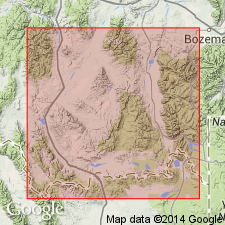
- Areal extent
- AAPG geologic province:
-
- Montana folded belt
Summary:
Pg. 1388-1390 (table 1), 1394-1395. Maurice formation. In Bridger Range, Gallatin County, Montana, consists of (descending): (1) Massive light- and dark-gray mottled, oolitic limestone, 232 to 243 feet; (2) thin to thick-bedded, gray, edgewise and flat-pebble limestone conglomerate with interbedded green shale, 123 to 180 feet; and (3) basal ledge-forming massive, oolitic, mottled limestone, 8 to 10 feet. Total thickness 363 to 433 feet. Overlies Park formation; underlies Dry Creek shale member of Snowy Range formation. Previously called Pilgrim limestone. Age is early Late Cambrian (Dresbachian); lower part yielded earliest Dresbachian (CEDARIA zone) and upper part yielded late Dresbachian (APHELASPIS zone) fossils (identified by A.R. Palmer).
Source: Publication.
- Usage in publication:
-
- Maurice formation†
- Modifications:
-
- Abandoned
Summary:
Hanson's (1952) regional work in southwestern Montana demonstrated that Maurice formation is lithic and age equivalent of Pilgrim formation. Name Maurice must be dropped and Pilgrim used in its place as Pilgrim has priority.
Source: GNU records (USGS DDS-6; Denver GNULEX).
For more information, please contact Nancy Stamm, Geologic Names Committee Secretary.
Asterisk (*) indicates published by U.S. Geological Survey authors.
"No current usage" (†) implies that a name has been abandoned or has fallen into disuse. Former usage and, if known, replacement name given in parentheses ( ).
Slash (/) indicates name conflicts with nomenclatural guidelines (CSN, 1933; ACSN, 1961, 1970; NACSN, 1983, 2005, 2021). May be explained within brackets ([ ]).