The National Geologic Map Database is migrating to a new infrastructure. We apologize for any service disruptions during this process.
|
|---|


- Usage in publication:
-
- Mattoon formation
- Modifications:
-
- Original reference
- Dominant lithology:
-
- Shale
- Sandstone
- Coal
- AAPG geologic province:
-
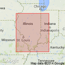
- Illinois basin
Summary:
Pg. 8 (fig. 1), 26 (fig. 4), 27, 39-41, 51 (table 1), pl. 1, geol. section. Mattoon formation of McLeansboro group. Proposed for all Pennsylvanian strata above top of Millersville limestone member of Bond formation (new). Predominantly shale and sandstone. Maximum thickness 500 to 600 feet; more than 750 feet of Mattoon strata present in Union County, Kentucky. Members (ascending): (1) central and southeastern Illinois, Friendsville coal, McClearys Bluff coal, Shelbyville coal, Opdyke coal, Trowbridge coal, Calhoun coal (new), Bonpas coal (new), Omega limestone, Shumway limestone, Effingham limestone, Bogota limestone (new), Greenup limestone (new), Gila limestone, Woodbury limestone (new), and Reisner limestone (new); and (2) eastern Illinois, Cohn coal (new) and Merom sandstone. Age is Late Pennsylvanian (Missourian to Virgilian). Report presents new rock-stratigraphic classification of Pennsylvanian of Illinois. Cyclical classification is retained but is independent of rock-stratigraphic classification; includes rocks also assigned to (alphabetical): Bogota, Cohn, Gila, Greenup, LaSalle (part), Little Vermilion, Newton, Omega, Shumway, and Woodbury cyclothems.
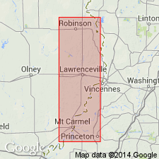
Type locality: outcrops in counties of deeper Illinois basin area of southeastern IL. Named from Mattoon, Coles Co., southeastern IL, which lies in general outcrop belt of formation.
Source: Publication; US geologic names lexicon (USGS Bull. 1200, p. 2423); supplemental information from GNU records (USGS DDS-6; Reston GNULEX).
- Usage in publication:
-
- Mattoon Formation*
- Modifications:
-
- Overview
- AAPG geologic province:
-
- Illinois basin
Summary:
Paleobotanic and palynologic data from the Friendsville Coal Member of the Mattoon Formation in IL show that tree-fern species were the most dominant flora in coal swamps represented by this unit. The Friendsville Coal Member is 0.7 to 1.2 m thick and overlies the Millersville Limestone Member or Livingston Limestone Member of the Bond Formation. The Friendsville is of Late Pennsylvanian (Missourian) age.
Source: GNU records (USGS DDS-6; Reston GNULEX).
- Usage in publication:
-
- Mattoon Formation*
- Modifications:
-
- Overview
- Dominant lithology:
-
- Shale
- Sandstone
- AAPG geologic province:
-
- Illinois basin*
Summary:
Pg. 20-21, pl. 1. Mattoon Formation of McLeansboro Group of Kosanke and others (1960). Recognized in Illinois, Indiana, and Kentucky. Dominated by shale and sandstone; includes thin, laterally discontinuous coal and limestone beds. Comprises strata from top of Livingston (Millersville) Limestone Member of Bond Formation of McLeansboro Group to top of Pennsylvanian. Thickness up to 600 feet in Illinois; is 1,000+ feet thick in Union County, Kentucky. Underlies Cretaceous or Quaternary deposits in Illinois and Indiana, and Permian Mauzy Formation in Kentucky. Age is Late Pennsylvanian (Missourian to Virgililian).
Source: Publication.
For more information, please contact Nancy Stamm, Geologic Names Committee Secretary.
Asterisk (*) indicates published by U.S. Geological Survey authors.
"No current usage" (†) implies that a name has been abandoned or has fallen into disuse. Former usage and, if known, replacement name given in parentheses ( ).
Slash (/) indicates name conflicts with nomenclatural guidelines (CSN, 1933; ACSN, 1961, 1970; NACSN, 1983, 2005, 2021). May be explained within brackets ([ ]).