- Usage in publication:
-
- Masefau dike complex*
- Masefau breccia*
- Modifications:
-
- Original reference
- AAPG geologic province:
-
- Samoa Islands
Summary:
Pg. 1286-1288, pl. 1. Masefau dike complex; Masefau breccia. Hundreds of closely spaced dikes intruded into thin-bedded basalts. About 200 feet thick. Complex is truncated at top apparently by erosional unconformity and on northern side of fault(?) scarp. Above fault(?) plane is 20 to 100 feet of talus and firefountain debris and about 50 feet of Pago volcanic series. [Age is Pliocene(?).]
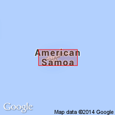
Complex and breccia crop out on east side of Afono Bay, in Bartlett Island off Masefau Bay, and in promontory opposite island. Complex is named from latter locality which is near Masefau village, [Tutuila Island East 7.5-min quadrangle, Tutuila Island, American Samoa].
Source: US geologic names lexicon (USGS Bull. 1200, p. 2413).
For more information, please contact Nancy Stamm, Geologic Names Committee Secretary.
Asterisk (*) indicates published by U.S. Geological Survey authors.
"No current usage" (†) implies that a name has been abandoned or has fallen into disuse. Former usage and, if known, replacement name given in parentheses ( ).
Slash (/) indicates name conflicts with nomenclatural guidelines (CSN, 1933; ACSN, 1961, 1970; NACSN, 1983, 2005, 2021). May be explained within brackets ([ ]).

