- Usage in publication:
-
- Marshall granite
- Modifications:
-
- Named
- Dominant lithology:
-
- Granite
- AAPG geologic province:
-
- Piedmont-Blue Ridge province
Jonas, A.I., 1928, Geological map of Virginia; preliminary edition: Virginia Geological Survey
Summary:
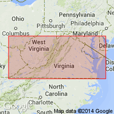
Named Marshall granite for Marshall, Fauquier Co., VA. Consists of pink to green granite and quartz monzonite. It is intrusive into the Lynchburg gneiss, Lovingston granite gneiss, and Catoctin greenstone. Unit is assigned to the Precambrian.
Source: GNU records (USGS DDS-6; Reston GNULEX).

- Usage in publication:
-
- Marshall Metagranite*
- Modifications:
-
- Revised
- Geochronologic dating
- AAPG geologic province:
-
- Piedmont-Blue Ridge province
Summary:
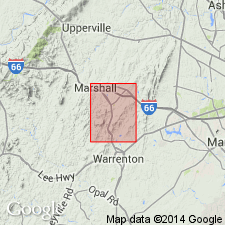
Marshall Granite of Jonas (1928) adopted as Marshall Metagranite for use by USGS in northern Virginia. Mostly fine-grained, dark gray, gneissic granite; dominant minerals are quartz, plagioclase and potassium feldspar; minor minerals are epidote, sericite, and biotite. Zircons have yielded a 207Pb/206Pb age of 1010 Ma. Oldest rock in quadrangle.
Source: GNU records (USGS DDS-6; Reston GNULEX).

- Usage in publication:
-
- Marshall Metagranite*
- Modifications:
-
- Overview
- AAPG geologic province:
-
- Piedmont-Blue Ridge province
Summary:
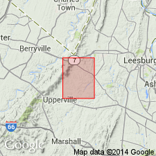
The Marshall Metagranite is divided into two units in the mapped area, a fine- to medium-grained metagranite and a coarse-grained metagranite. The fine- to medium-grained unit is light-olive-gray to light-brownish-gray, massive, monzogranite composed of 22 to 28 percent quartz, 33 to 34 percent orthoclase, microcline, and microperthite, and 38 to 44 percent oligoclase and albite. The coarse-grained metagranite is light-olive-gray to light-brownish-gray monzogranite with orthoclase and sausseritized oligoclase porphyroblasts. The Marshall Metagranite is of Middle Proterozoic age.
Source: GNU records (USGS DDS-6; Reston GNULEX).

- Usage in publication:
-
- Marshall Metagranite*
- Modifications:
-
- Geochronologic dating
- Areal extent
- AAPG geologic province:
-
- Piedmont-Blue Ridge province
Summary:
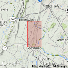
Biotitic Marshall Metagranite from the Rectortown quad, southwest of the map area, yielded a U-Pb zircon age of 1055 +/-5 Ma (Aleinikoff and others, 1993, GSA Abstracts with Programs, v. 2 no. 2, p. 2). Has been traced from map area south to its type area in Marshall quad (Burton and others, 1992, USGS Open-File Report 92-716; and P.T. Lyttle, 1991, oral commun.). Report includes geologic map, cross sections, and correlation chart.
Source: GNU records (USGS DDS-6; Reston GNULEX).
For more information, please contact Nancy Stamm, Geologic Names Committee Secretary.
Asterisk (*) indicates published by U.S. Geological Survey authors.
"No current usage" (†) implies that a name has been abandoned or has fallen into disuse. Former usage and, if known, replacement name given in parentheses ( ).
Slash (/) indicates name conflicts with nomenclatural guidelines (CSN, 1933; ACSN, 1961, 1970; NACSN, 1983, 2005, 2021). May be explained within brackets ([ ]).

