The National Geologic Map Database is migrating to a new infrastructure. We apologize for any service disruptions during this process.
|
|---|


- Usage in publication:
-
- Mariquita Chert*
- Modifications:
-
- Named
- Dominant lithology:
-
- Chert
- AAPG geologic province:
-
- Caribbean region
Summary:
The Mariquita Chert of the Bermeja Complex, here named, consists of fine-grained, greenish-gray or black, medium-bedded radiolarian chert, originally mudstone recrystallized into an aggregate of quartz with minor iron oxides. Thickness is unknown, at least 200-250 m. Intensely deformed. Age is pre-middle Cretaceous.
Source: GNU records (USGS DDS-6; Reston GNULEX).
- Usage in publication:
-
- Mariquita Chert*
- Modifications:
-
- Revised
- Age modified
- AAPG geologic province:
-
- Caribbean region
Summary:
Mariquita Chert revised not in Bermeja Complex and adopted for USGS. Age is upper Tithonian through Hauterivian.
Source: GNU records (USGS DDS-6; Reston GNULEX).
- Usage in publication:
-
- Mariquita Chert*
- Modifications:
-
- Age modified
- Biostratigraphic dating
- AAPG geologic province:
-
- Caribbean region
Summary:
The Mariquita Chert in the Sierra Bermeja has been dated on the basis of Radiolaria as Tithonian to Aptian, and at San German to middle Turonian. The discrepancy in age suggests that deposition took place over more than 40 m.y. with the oldest deposits to the south.
Source: GNU records (USGS DDS-6; Reston GNULEX).

- Usage in publication:
-
- Mariquita Chert*
- Modifications:
-
- Overview
- AAPG geologic province:
-
- Caribbean region
Summary:
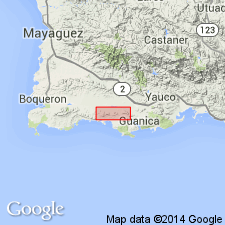
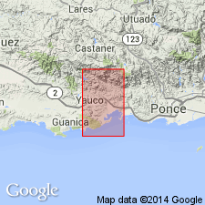
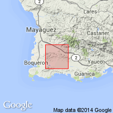
The Mariquita Chert occurs in southwestern Puerto Rico and consists of laminated, fine-grained, dark-gray chert with abundant to sparse Radiolaria, and Foraminifera. Locally interbedded with recrystallized and largely silicified limestone(?) and nonmetamorphosed pillowed basalt. Maximum estimated thickness is 300 meters. The Mariquita is of Late Jurassic and Cretaceous age.
Source: GNU records (USGS DDS-6; Reston GNULEX).
For more information, please contact Nancy Stamm, Geologic Names Committee Secretary.
Asterisk (*) indicates published by U.S. Geological Survey authors.
"No current usage" (†) implies that a name has been abandoned or has fallen into disuse. Former usage and, if known, replacement name given in parentheses ( ).
Slash (/) indicates name conflicts with nomenclatural guidelines (CSN, 1933; ACSN, 1961, 1970; NACSN, 1983, 2005, 2021). May be explained within brackets ([ ]).