- Usage in publication:
-
- Mahoning sandstone
- Modifications:
-
- Named
- Dominant lithology:
-
- Sandstone
- AAPG geologic province:
-
- Appalachian basin
Summary:
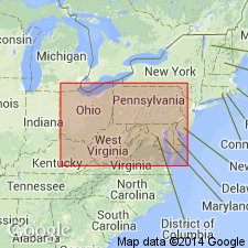
Probably named for Mahoning Creek(S), Indiana and Jefferson Cos., western PA. Mahoning sandstone underlies coal F of Barren Measures and overlies Lower series, which includes coal E (Upper Freeport) about 50 ft beneath top. Mahoning consists of two sandstones, each 35 ft thick, separated by 25 ft of shale. Rests on 2 to 50 ft of brown and blackish shale.
Source: GNU records (USGS DDS-6; Reston GNULEX).

- Usage in publication:
-
- Mahoning Sandstone Member*
- Modifications:
-
- Overview
- AAPG geologic province:
-
- Appalachian basin
Summary:
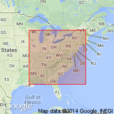
Mahoning Sandstone Member is part of Glenshaw Formation and is used in PA and OH only. Part of Conemaugh Formation in MD. Commonly subdivided into upper and lower parts. Has been misused in WV where it was assigned to Conemaugh Formation by Krebs and Teets (1914) and reassigned incorrectly(?) to top of Charleston Sandstone by Englund and others (1979).
Source: GNU records (USGS DDS-6; Reston GNULEX).
For more information, please contact Nancy Stamm, Geologic Names Committee Secretary.
Asterisk (*) indicates published by U.S. Geological Survey authors.
"No current usage" (†) implies that a name has been abandoned or has fallen into disuse. Former usage and, if known, replacement name given in parentheses ( ).
Slash (/) indicates name conflicts with nomenclatural guidelines (CSN, 1933; ACSN, 1961, 1970; NACSN, 1983, 2005, 2021). May be explained within brackets ([ ]).

